Sephora Books

CALL CENTER HOURS

9.00 - 12.00 15.00 - 18.00
from Monday to Friday

EXPRESS DELIVERY

100% MADE EASY

30 Days To Return

Description

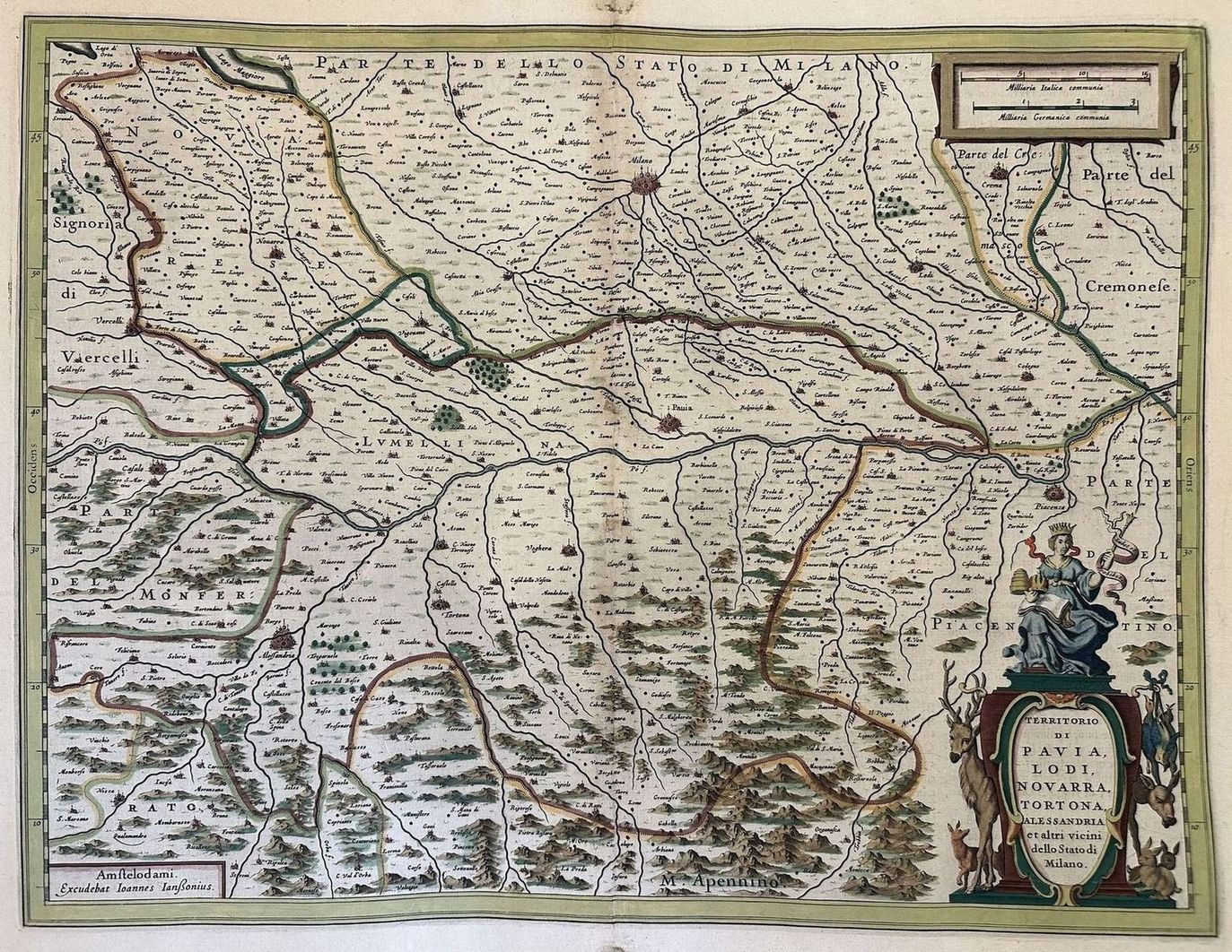
TERRITORY OF PAVIA, LODI, NOVARRA, TORTONA, ALESSANDRIA

AND OTHER NEIGHBORS OF THE STATE OF MILAN 

AMSTELODEM

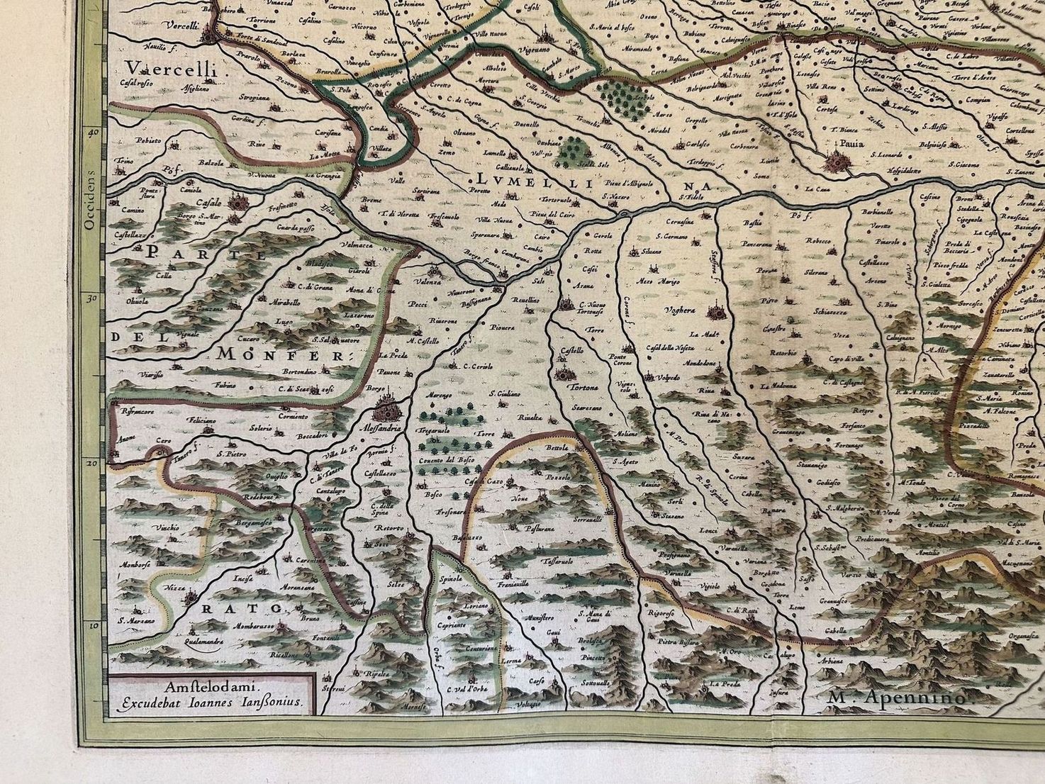
EXCUDEBAT IOANNES IANSSONIUS


Geographical map colored by hand published in Amsterdam by Johannes Janssonius (1588-1664) in the work "Novus Atlas sive Theatrum Orbis Terrarum", latin edition of 17th century.

The map shows the land of Pavia with the cities of Lodi, Tortona and Alessandria. The biggest cities have been illustrated with castles in miniature, different little villages are depicted and mountains.

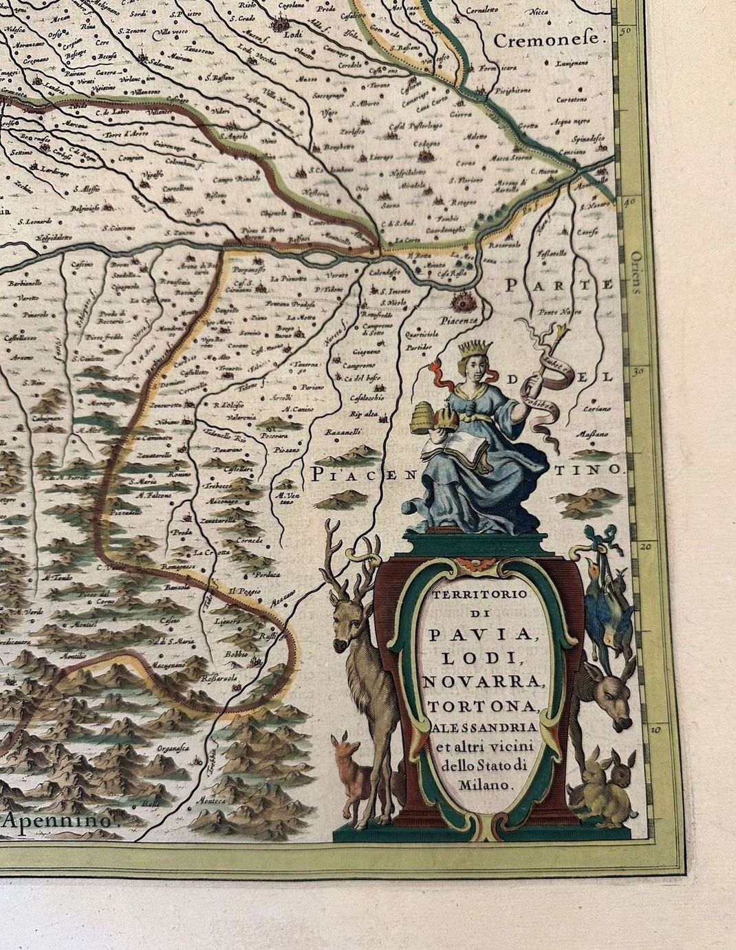
In the lower right corner a cartouche showing a Queen surrounded by different forest animals such as deers a rabbit and a fox.

Text in Latin language and description of the land of Milan in the reverse.

In good conditions. 


AUTHOR Johannes Janssonius (1588-1664)

ATLAS: Novus Atlas sive Theatrum Orbis Terrarum

DATE: 17th century

TECHNIQUE: Copper etching colored by hand

PAGE SIZE: cm 58X48.8
PRINT'S SIZE: cm 49x37.5 
CONDITIONS: Good conditions. Some wearing and tears in the edges
TERRITORY OF PAVIA, LODI, NOVARRA, TORTONA, ALESSANDRIA

AND OTHER NEIGHBORS OF THE STATE OF MILAN 

AMSTELODEM

EXCUDEBAT IOANNES IANSSONIUS


Hand-coloured geographical map printed in Amsterdam by Johannes Janssonius (1588-1664) included in the work "Novus Atlas sive Theatrum Orbis Terrarum", seventeenth-century Latin edition.

The map shows the territory of Pavia with the cities of Lodi, Tortona and Alessandria. The larger cities are illustrated with miniature castles, numerous smaller towns and forests.

At the bottom right, an elegant cartouche showing a Queen surrounded by numerous wild animals such as deer, fallow deer, a rabbit and a fox.

On the reverse, Latin text describing the Territory of Milan.

Central cartouche with legend of the most important places.

In good condition. 


AUTHOR: Johannes Janssonius (1588-1664)

ATLAS: Novus Atlas sive Theatrum Orbis Terrarum

DATE: 17th century

TECHNIQUE: Hand-colored etching on copper

SHEET DIMENSIONS: 58X48.8 cm

ENGRAVING DIMENSIONS: 49x37.5 cm 

CONDITION: Good condition. Some marginal wear and tear


Geographical map colored by hand published in Amsterdam by Johannes Janssonius (1588-1664) in the work "Novus Atlas sive Theatrum Orbis Terrarum", latin edition of 17th century. The map shows the land of Pavia with the cities of Lodi, Tortona and Alessandria. The biggest cities have been illustrated with castles in miniature, different little villages are depicted and mountains. Hand-coloured geographical map printed in Amsterdam by Johannes Janssonius (1588-1664) included in the work "Novus Atlas sive Theatrum Orbis Terrarum", seventeenth-century Latin edition. The map shows the territory of Pavia with the cities of Lodi, Tortona and Alessandria. The larger cities are illustrated with miniature castles, numerous smaller towns and forests. At the bottom right, an elegant cartouche showing