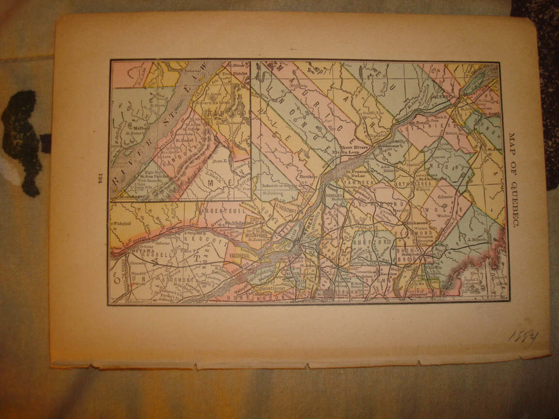
Superb, very finely produced, vintage antique 1884 color map, titled Map of Quebec . Verso has detailed period text on British America , including period census, and race data, Census of 1881, and gives data on Prince Edward Island, Nova Scotia , new Brunswick , Quebec , Ontario , Manitoba , British Columbia , North West Territories, and Newfoundland Very detailed, has named railroads, cities, towns, counties and so forth. The map is in excellent conditon, and would frame and display quite nicely. The size of the map is 6.5" by 10". Rare. Winning bidder pays $2.75 shipping domestic, more foreign.
Payment
I accept the following forms of payment:
- PayPal
Preferred Checkout
Shipping & Handling
$2.75 USPS First-Class Mail®
| FREE scheduling, supersized images and templates. Get Vendio Sales Manager. |
FREE scheduling, supersized images
and templates. Get Vendio Sales Manager.
