
Description
The unfolded size of the map is 18*29inch/45.72*73.66cm.
Thematic map of Earth's plate tectonics is printed on Polyester cloth.
Compared to the traditional method of printing maps on laminated paper we have adopted a new process of printing maps on cloth. The advantage is that it allows our maps to be stored better during transportation.
Thematic map of Earth's plate tectonics maps for business, home or educational use
Beginners world Wall Map Grades K-4--Beginners United States Wall Map Series is the ideal wall map for elementary school students grade Kindergarten through 4th grade.
This is a thematic map of Earth's plate tectonics titled *"The Earth’s Fractured Surface"*. It shows major tectonic plates and boundaries (spreading centers, subduction zones, transform faults), with marked 20th-century significant earthquakes (year, location, magnitude, toll) and volcanic eruptions.
Key notes explain:
- Earthquakes occur at plate edges from strain energy release.
- Spreading centers form new crust via rising magma.
- Volcanoes cluster at subduction zones/spreading centers (e.g., Pacific Ring of Fire).
- Subduction zones force one plate under another, creating trenches.
- Transform faults (e.g., San Andreas) cause horizontal plate sliding and quakes.
- Hot spots form volcanic chains as plates move over mantle plumes (e.g., Hawaii).
- Plates move like a jigsaw, reshaping Earth’s surface and triggering geologic activity.
The unfolded size of the map is 18*29inch/45.72*73.66cm.
Thematic map of Earth's plate tectonics is printed on Polyester cloth.
Compared to the traditional method of printing maps on laminated paper we have adopted a new process of printing maps on cloth. The advantage is that it allows our maps to be stored better during transportation.
Thematic map of Earth's plate tectonics maps for business, home or educational use
Beginners world Wall Map Grades K-4--Beginners United States Wall Map Series is the ideal wall map for elementary school students grade Kindergarten through 4th grade.
This is a thematic map of Earth's plate tectonics titled *"The Earth’s Fractured Surface"*. It shows major tectonic plates and boundaries (spreading centers, subduction zones, transform faults), with marked 20th-century significant earthquakes (year, location, magnitude, toll) and volcanic eruptions.
Key notes explain:
- Earthquakes occur at plate edges from strain energy release.
- Spreading centers form new crust via rising magma.
- Volcanoes cluster at subduction zones/spreading centers (e.g., Pacific Ring of Fire).
- Subduction zones force one plate under another, creating trenches.
- Transform faults (e.g., San Andreas) cause horizontal plate sliding and quakes.
- Hot spots form volcanic chains as plates move over mantle plumes (e.g., Hawaii).
- Plates move like a jigsaw, reshaping Earth’s surface and triggering geologic activity.



Description
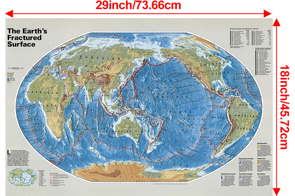
The unfolded size of the map is 18*29inch/45.72*73.66cm.
Thematic map of Earth's plate tectonics is printed on Polyester cloth.
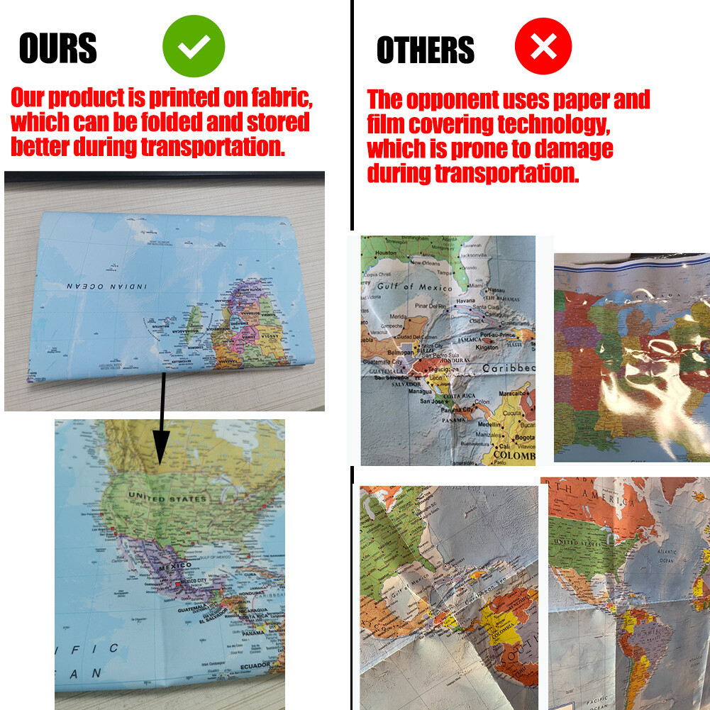
Compared to the traditional method of printing maps on laminated paper we have adopted a new process of printing maps on cloth. The advantage is that it allows our maps to be stored better during transportation.
Thematic map of Earth's plate tectonics maps for business, home or educational use
Beginners world Wall Map Grades K-4--Beginners United States Wall Map Series is the ideal wall map for elementary school students grade Kindergarten through 4th grade.
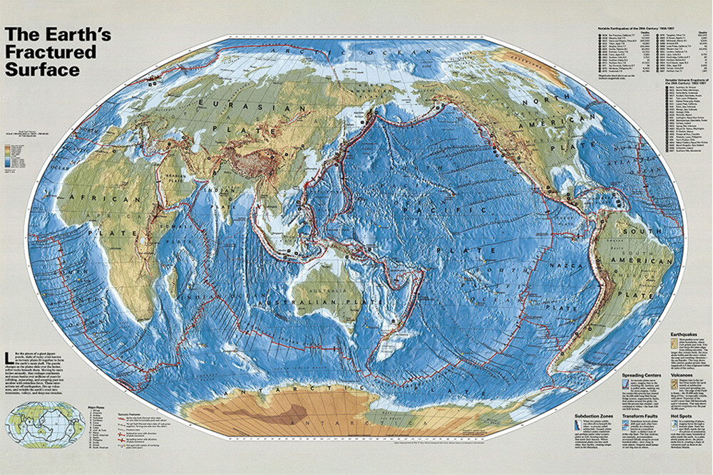
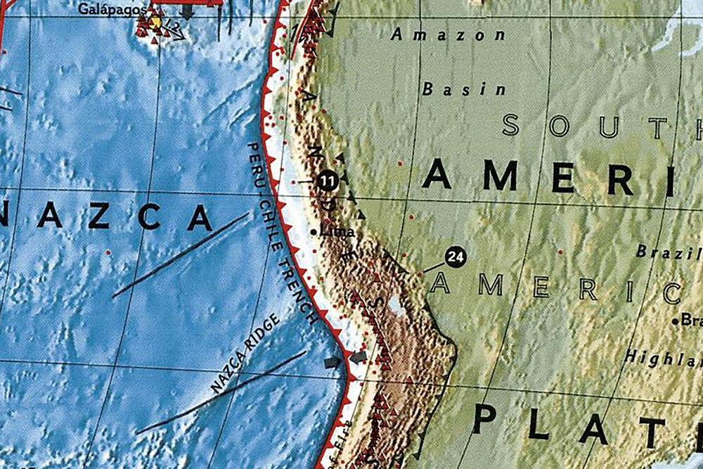
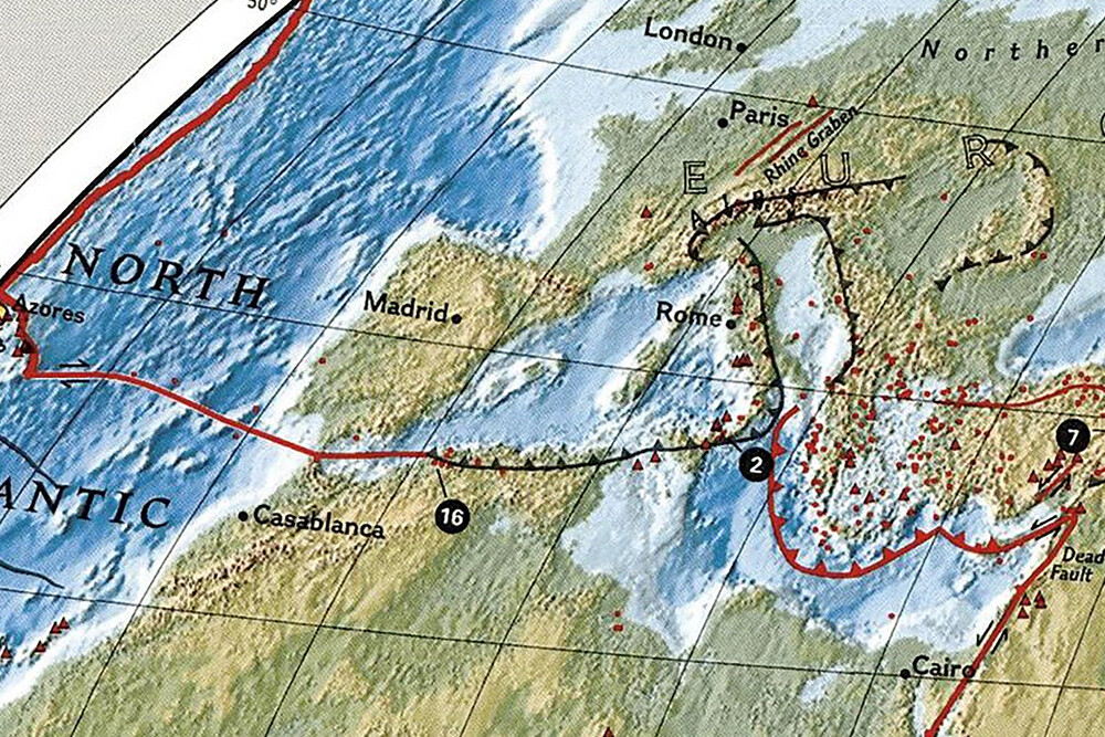
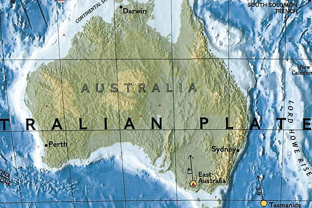
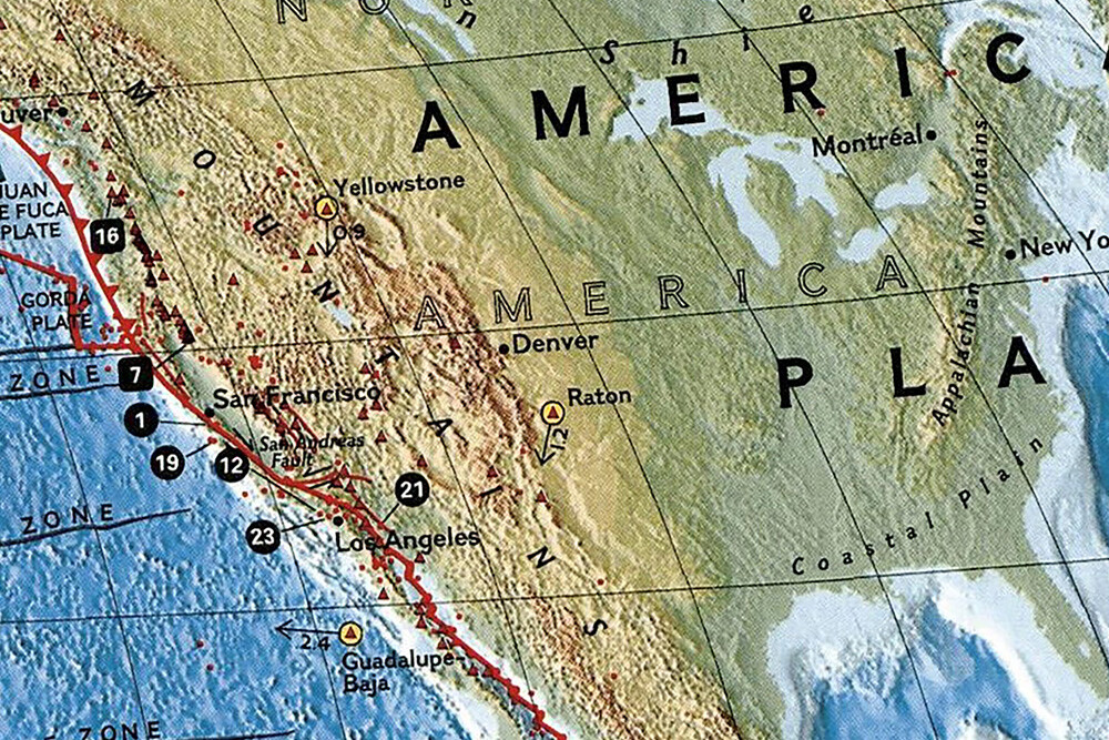
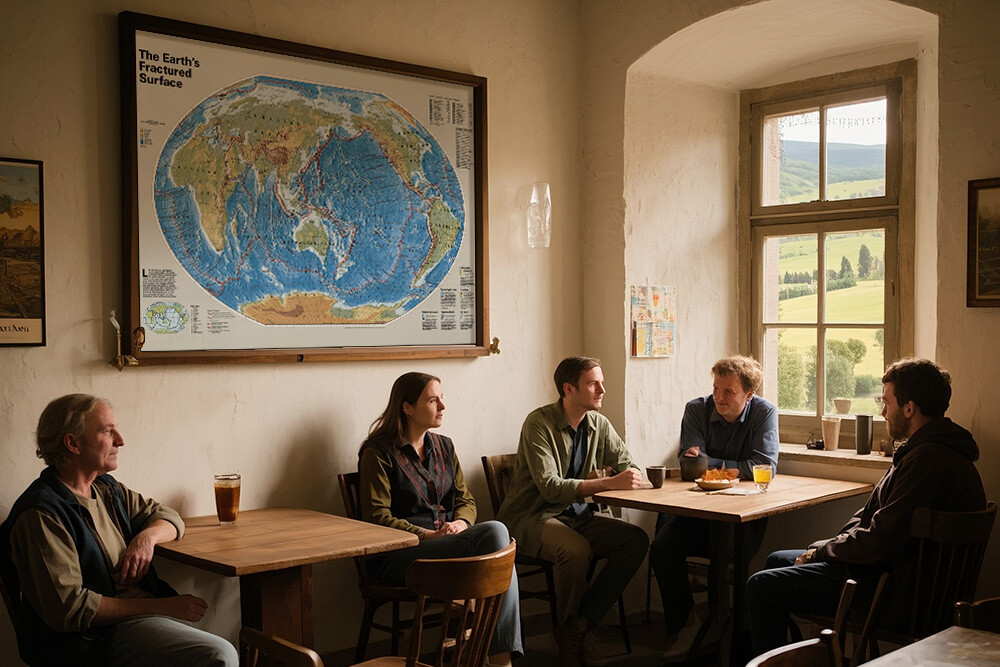
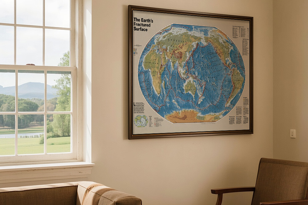
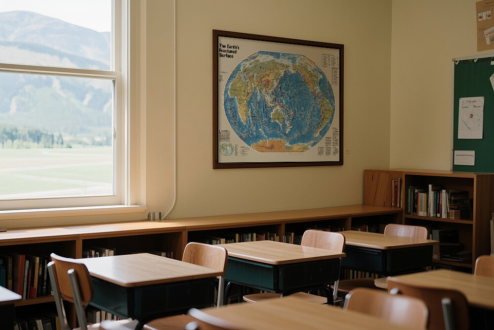
This is a thematic map of Earth's plate tectonics titled *"The Earth’s Fractured Surface"*. It shows major tectonic plates and boundaries (spreading centers, subduction zones, transform faults), with marked 20th-century significant earthquakes (year, location, magnitude, toll) and volcanic eruptions.
Key notes explain:
- Earthquakes occur at plate edges from strain energy release.
- Spreading centers form new crust via rising magma.
- Volcanoes cluster at subduction zones/spreading centers (e.g., Pacific Ring of Fire).
- Subduction zones force one plate under another, creating trenches.
- Transform faults (e.g., San Andreas) cause horizontal plate sliding and quakes.
- Hot spots form volcanic chains as plates move over mantle plumes (e.g., Hawaii).
- Plates move like a jigsaw, reshaping Earth’s surface and triggering geologic activity.
The unfolded size of the map is 18*29inch/45.72*73.66cm.
Thematic map of Earth's plate tectonics is printed on Polyester cloth.
Compared to the traditional method of printing maps on laminated paper we have adopted a new process of printing maps on cloth. The advantage is that it allows our maps to be stored better during transportation.
Thematic map of Earth's plate tectonics maps for business, home or educational use
Beginners world Wall Map Grades K-4--Beginners United States Wall Map Series is the ideal wall map for elementary school students grade Kindergarten through 4th grade.
This is a thematic map of Earth's plate tectonics titled *"The Earth’s Fractured Surface"*. It shows major tectonic plates and boundaries (spreading centers, subduction zones, transform faults), with marked 20th-century significant earthquakes (year, location, magnitude, toll) and volcanic eruptions.
Key notes explain:
- Earthquakes occur at plate edges from strain energy release.
- Spreading centers form new crust via rising magma.
- Volcanoes cluster at subduction zones/spreading centers (e.g., Pacific Ring of Fire).
- Subduction zones force one plate under another, creating trenches.
- Transform faults (e.g., San Andreas) cause horizontal plate sliding and quakes.
- Hot spots form volcanic chains as plates move over mantle plumes (e.g., Hawaii).
- Plates move like a jigsaw, reshaping Earth’s surface and triggering geologic activity.