|
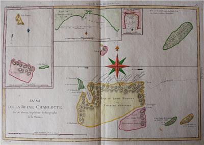
An ORIGINAL 18th-century map
by
Rigobert Bonne
from Bonne and Desmarest Atlas encyclopédique, volume 2, 1788
ISLES DE LA REINE CHARLOTTE
Par M.Bonne, Ingénieur-Hydrographe de la Marine
- Original 18th-century copperplate engraved map
- Printed on one side only (blank reverse)
- Center fold as issued
- Later hand-coloring
Image size
9.2" x 13.5" (233 x 342 mm), plus margins.
Shipping / Handling
Priority airmail with tracking $12.00
ALL ITEMS ARE GENUINE
Thanks for interest
|