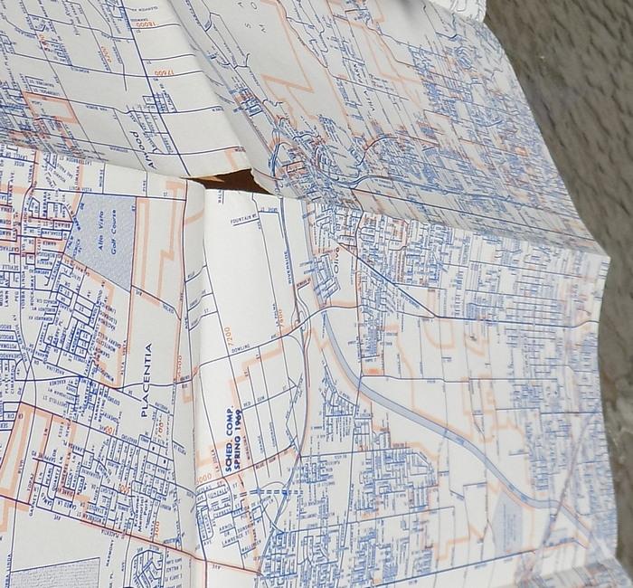
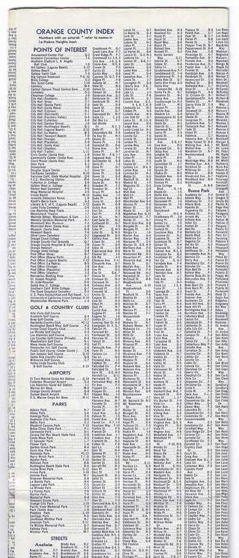
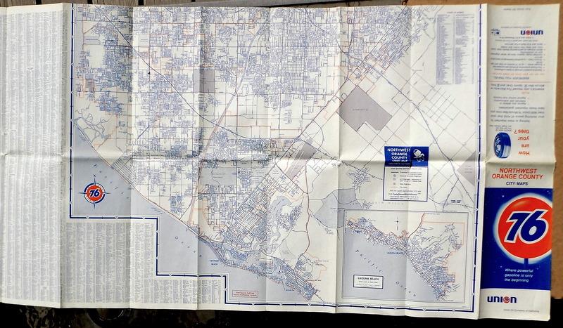
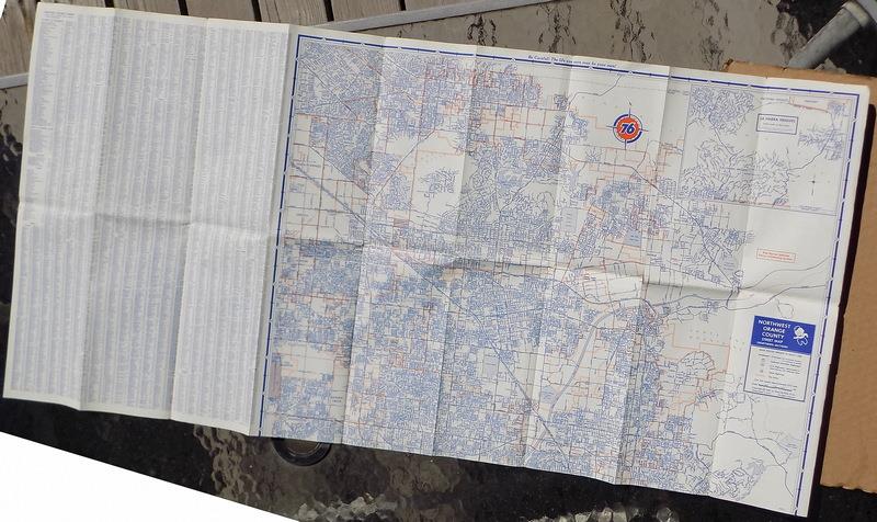
vintage Union Oil 76 Northwest Orange County map 1968;
Laguna, Brea, Cypress, Cerritos….
Free Shipping to U.S.
Up for sale is....
a
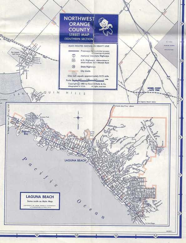
Union Oil Company Map from 1968
Northwest
Orange County
City
MAPS
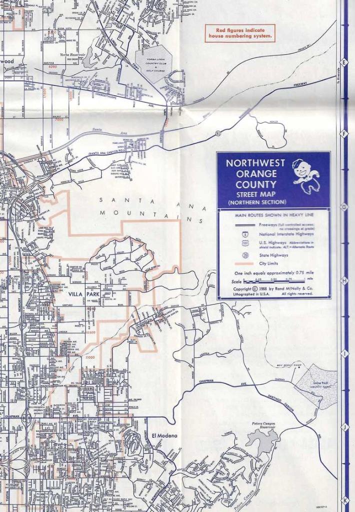
· Anaheim
· Brea
· Buena
Park
· Cerritos
· Costa
Mesa
· Cypress
· Fountain
Valley
· Fullerton
· Huntington
Beach
· Laguna
Beach
· La
Habra
….and
more
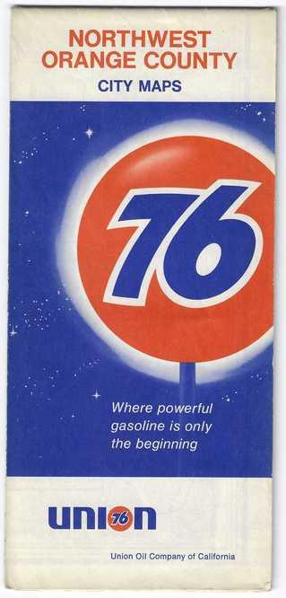
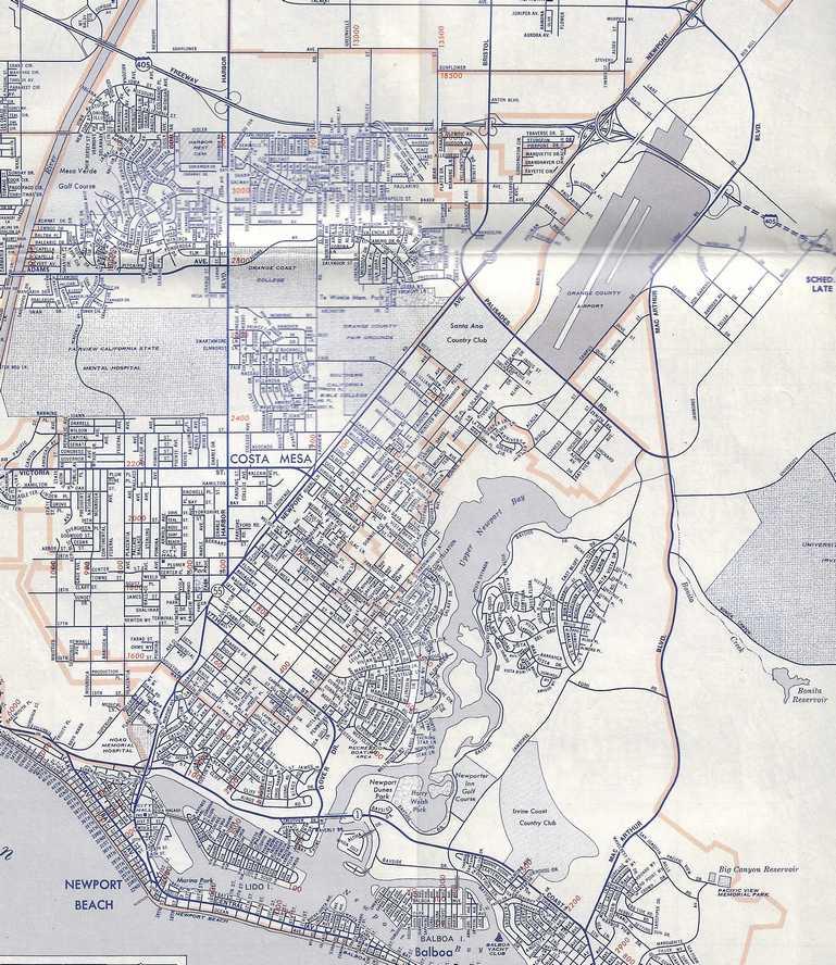
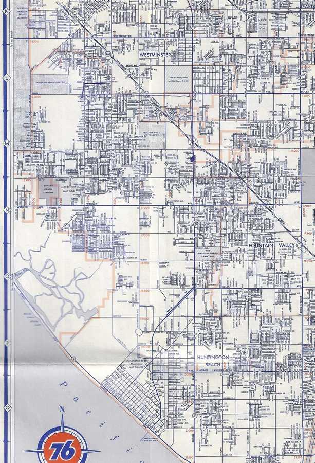
This 56-year old map captures a historic period
after the residential initial ‘boom’ in Northwest Orange
County,
but before the next phase that transformed
the mixed agricultural landscape into a fully suburban hub.
The early 1970s marked a period during
which cities like Cypress and La Palma expanded
into areas where acres of walnut orchards, citrus groves, and dairy farms had
previously existed.
In 1968,The Orange Freeway (State Route 57) was yet to be
constructed through Brea Canyon. It opened in March,1972.
The Mall of Orange
opened in 1971.
In 1970, roughly 4,200 acres of the historic Nohl
Ranch were deeded to Santa Anita Consolidated, Inc., kickstarting the creation
of Anaheim Hills.
This 1968 map still shows “Orange
County State College” (at State College Blvd / Yorba Linda Blvd.) even though
it had been renamed Cal State Fullerton a few year earlier.
CONDITION
This
56-year-old maps is in good condition, free of soiling and major flaws, but with
light general wear.
Just
below, I’ve displayed the largest ‘split’ along original fold lines.