|
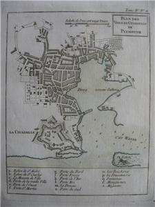
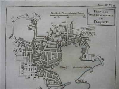
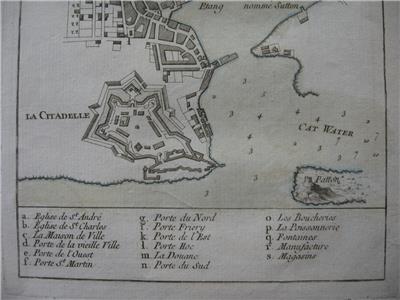
Two ORIGINAL 18th century maps
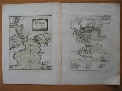
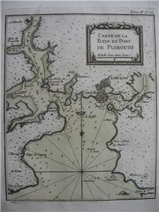
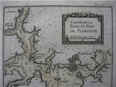
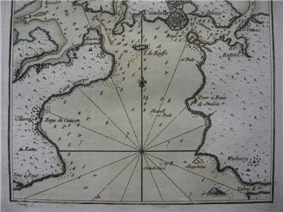
CARTE DE LA BAYE ET PORT DE PLIMOUTH
-
PLAN DES VILLE ET CITADELLE DE PLYMOUTH
by
Jacques-Nicolas Bellin
(1703-1772), Royal Hydrographer, engineer of the French Navy and member of the Royal Society, London....
These maps were issued in the Petit Atlas Maritime volume IV
- Original 18th century copperplate engraved map
- Printed on one side only (blank reverse) with noticeable plate-mark
- Original hand-coloring
Image size
Each approx. 8 1/2 x 6 3/4" (215 x 170 mm), plus margins.
Shipping / Handling
Priority airmail, tracking $18.00
Multiple items are shipped together. View My Other Items For Sale
ALL ITEMS ARE GENUINE
Thanks for interest
|