|
Handsome
fold-out road map of the greater New York City area, printed more than
58
years ago.
-
This map opens to 15¾" x 19¾" and
has great
detail on old street and highway alignments, as well as railroads, golf
courses, and
yacht clubs.
-
The coverage area extends from Tarrytown to Tottenville Beach
and includes the Bronx, Brooklyn, Queens, Staten Island, Manhattan, and
adjacent New Jersey, west to Cranford and Paterson.
-
The scan below
shows some of the detail:

-
The map is drawn on a scale of 1:133,056. It
was compiled and published by the National Geographic Society in July
1964 and is dated in the legend.
-
Condition: This map is in excellent
condition, bright and clean, with no
marks, rips, or tears. Please see the scans and feel free to ask any
questions.
-
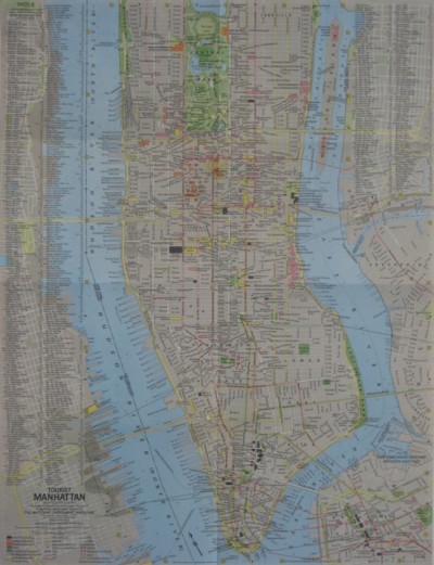
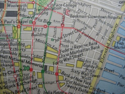
On the reverse side there is a detailed tourist map of
Manhattan from Yorkville to the Battery, locating subway lines, hotels,
theaters, and other points of interest.
-
This map is drawn on a scale of
1:21,120. It is shown below, along with some of the detail:
-
Buy with confidence! We are always happy to combine
shipping on
the purchase of multiple items — just make sure to pay for everything
at one time, not individually.
|
