
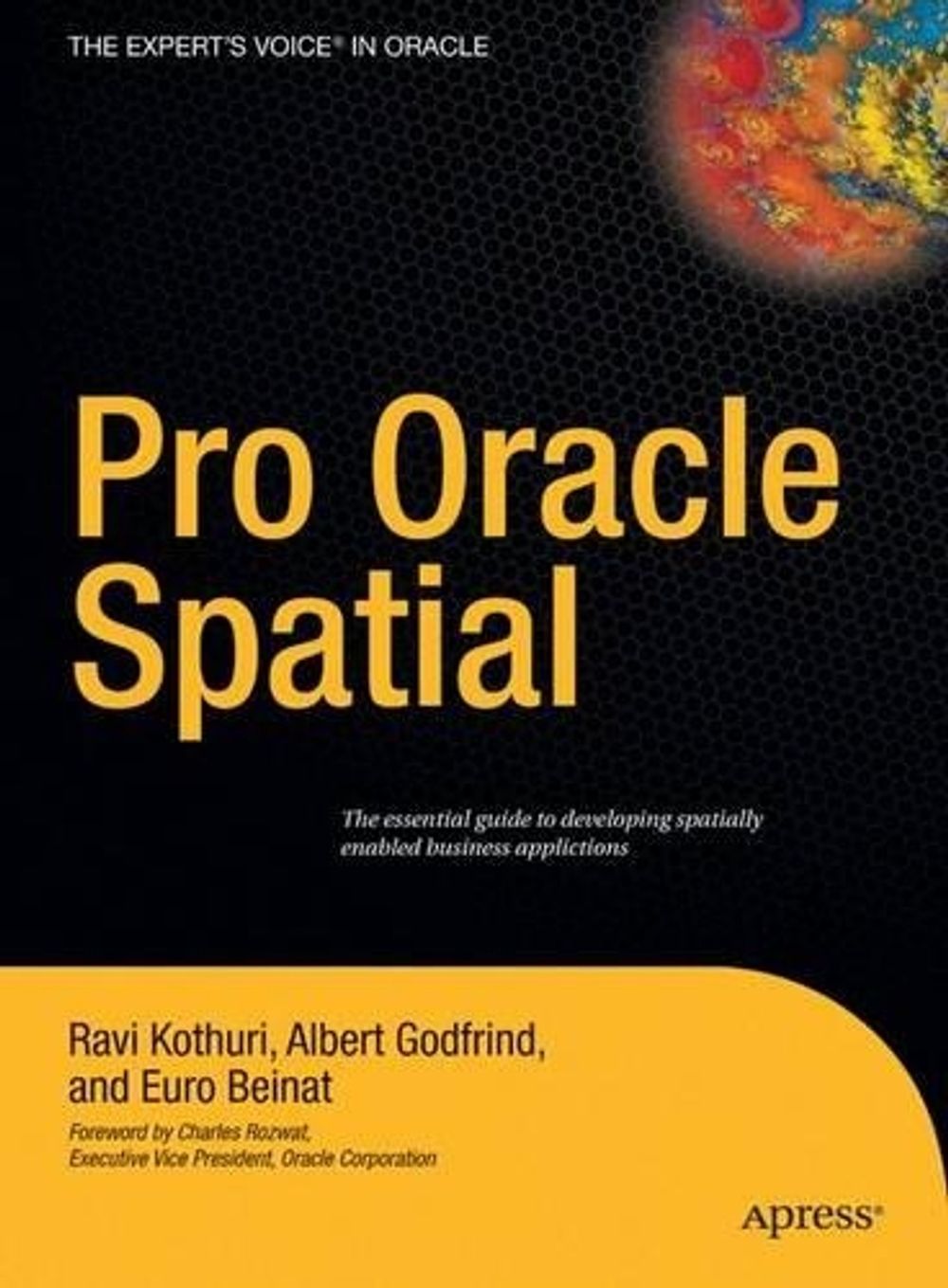
Pro Oracle Spatial
by Albert Godfrind, Ravikanth Kothuri, Euro Beinat
Oracle Spatial is changing the way spatial information is used in organizations.
Hardcover
English
Brand New
Publisher Description
Oracle Spatial is changing the way spatial information is used in organizations. This book addresses: (1) the special nature of spatial data and its role in professional and consumer applications, (2) the issues in spatial data management such as modeling, storing, accessing, and analyzing spatial data; (3) the Oracle Spatial solution and the integration of spatial data into enterprise databases; and (4) how spatial information is used to understand business and support decisions, to manage customer relations, and to better serve private and corporate Oracle Spatial shows how any Oracle application that has a spatial element (e.g. postcode) can take advantage of Spatial functionality. Thoroughly tech reviewed, this book contains case studies of more advanced applications of spatial in healthcare, telecom, retail, and distribution industries. Pro Oracle Spatial is based on extensive feedback from training courses, discussion lists, and customers. It recommends best practice approaches to the most common problems with which developers Ravikanth V Kothuri, Albert Godfrind and Euro Beinat, are all experienced and well-respected Oracle personnel contributing have a decade of experience with Spatial and in helping partners and customers fully leverage its capabilities.
Notes
Oracle Spatial is changing the way spatial information is used in organizations. This book addresses: (1) the special nature of spatial data and its role in professional and consumer applications, (2) the issues in spatial data management such as modeling, storing, accessing, and analyzing spatial data; (3) the Oracle Spatial solution and the integration of spatial data into enterprise databases; and (4) how spatial information is used to understand business and support decisions, to manage customer relations, and to better serve private and corporate users.
Table of Contents
1 Overview.- 1 Spatial Information Management.- 2 Overview of Oracle Spatial.- 3 Location-Enabling Your Applications.- 2 Basic Spatial.- 4 The SDO_GEOMETRY Data Type.- 5 Loading, Transporting, and Validating Spatial Data.- 6 Geocoding.- 7 Manipulating SDO_GEOMETRY in Application Programs.- 3 Analysis and Visualization.- 8 Spatial Indexes and Operators.- 9 Geometry Processing Functions.- 10 Network Modeling.- 11 Generating Maps Using MapViewer.- 12 A Sample Application.- 4 Advanced Spatial.- 13 Case Studies.- 14 Tips, Common Mistakes, and Common Errors.- Appendix A Additional Spatial Analysis Functions.- Tiling-Based Analysis.- TILED_BINS.- TILED_AGGREGATES.- Neighborhood Analysis.- AGGREGATES_FOR_GEOMETRY.- AGGREGATES_FOR_LAYER.- Clustering Analysis.- SPATIAL_CLUSTERS.- Refining the Candidates for Site Selection.- Geometry Simplification for Speeding Up Analysis.- Summary.- Appendix B Linear Referencing.- Concepts and Definitions.- Measure.- Linear Referenced Segments.- Direction.- Shape Points.- Offset.- Typical Application.- Creating Linear Referenced Geometries.- SDO_GTYPE in LRS Geometries.- Constructing LRS Geometries.- Metadata.- Spatial Indexes and Spatial Operators on LRS Geometries.- Dynamic Segmentation Operations.- Clip a Segment.- Locate a Point.- Project a Point.- Validation of LRS Segments.- Dynamic Segmentation on 3D Geometries.- Other Operations.- Summary.- Appendix C Topology Data Model in Oracle.- Topology Data Model.- Benefits of the Topology Data Model.- Storing a Topology Data Model in Oracle.- Operating on a Topology in Oracle.- Creating a Topology.- Associating a Feature Layer with a Topology.- Inserting, Updating, and Populating Feature Layers.- Updating Topological Elements.- Querying for Topological Relationships.- Hierarchical Feature Model.-Summary.- Appendix D Storing Raster Data in Oracle.- SDO_GEORASTER Data Type.- Storage for SDO_GEORASTER Data.- Metadata in SDO_GEORASTER Data.- Populating SDO_GEORASTER Columns.- Manipulating Raster Objects.- Generating Pyramids.- Subsetting.- Georeferencing.- Visualizing Raster Data in Oracle MapViewer.- Summary.
Long Description
In the past decade, location analysis has outgrown its traditional use in Geographic Information Systems (GIS) and has become a critical component in business applications. The vast majority of commercial franchises employ location-based analysis and services in their day-to-day activities. With this growing usage, scalable and manageable solutions for location-based analysis and management have become a necessity rather than an option. Oracle Spatial is the principal component of Oracle that effectively addresses this need for location or spatial information management. This product has evolved from its simple beginnings in Oracle8i and prior releases to a full-fledged suite of products in Oracle lOg. The suite supports efficient and scalable storage and retrieval of spatial data using native data types and indexes, and provides new functionality for analysis and visualization of spatial data. Consistent with Oracle's motto of enabling storage of "all" data inside an Oracle database, Oracle Spatial not only extends all the benefits of an Oracle database to spatial data, but also enhances this functionality by adding location-specific analysis and visualization.
Description for Sales People
Oracle Spatial is changing the way spatial information is used in organizations. This book addresses: (1) the special nature of spatial data and its role in professional and consumer applications, (2) the issues in spatial data management such as modeling, storing, accessing, and analyzing spatial data; (3) the Oracle Spatial solution and the integration of spatial data into enterprise databases; and (4) how spatial information is used to understand business and support decisions, to manage customer relations, and to better serve private and corporate users.
Details
