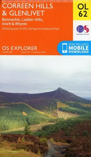
Correen Hills & Glenlivet, Bennachie & Ladder Hills, Insch & Rhynie
(Land-)Karte von Ordnance Survey
Details
- Autor: Ordnance Survey
- EAN: 9780319243015
- Inhalt: Karte/Landkarte
- Auflage: May 2015
- Sprache: Englisch
- Reihe: OS Explorer Map
- Maße: 221 x 133 x 12 mm
- Erschienen: 10.06.2015
- Schlagworte: Karten / Stadtpläne / Europa / Reise- und Freizeitkarten / Walking / Wandern / Trekking
Beschreibung
OS Explorer is the Ordnance Survey's most detailed map and is recommended for anyone enjoying outdoor activities like walking, horse riding and off-road cycling. The OS Explorer range of OL maps now inclu*es a digital version of the paper map, accessed through the OS smartphone app, OS Maps. Providing complete GB coverage the series details essential information such as youth hostels, pubs and visitor information as well as rights of way, permissive paths and bridleways.
Kurzbeschreibung
Titel: Correen Hills & Glenlivet, Bennachie & Ladder Hills, Insch & Rhynie | Medium: (Land-)Karte | Autor: Ordnance Survey | Inhalt: Karte/Landkarte | Auflage: May 2015 | Sprache: Englisch | Reihe: OS Explorer Map | Maße: 221 x 133 x 12 mm | Erschienen: 10.06.2015 | Anbieter: Faboplay

Das erwartet Sie bei Faboplay
- Schnelle & professionelle Abwicklung
- Kompetenter & unkomplizierter Service
- Rechnung bequem per Email
-
Versand per Deutsche Post oder DHL