|
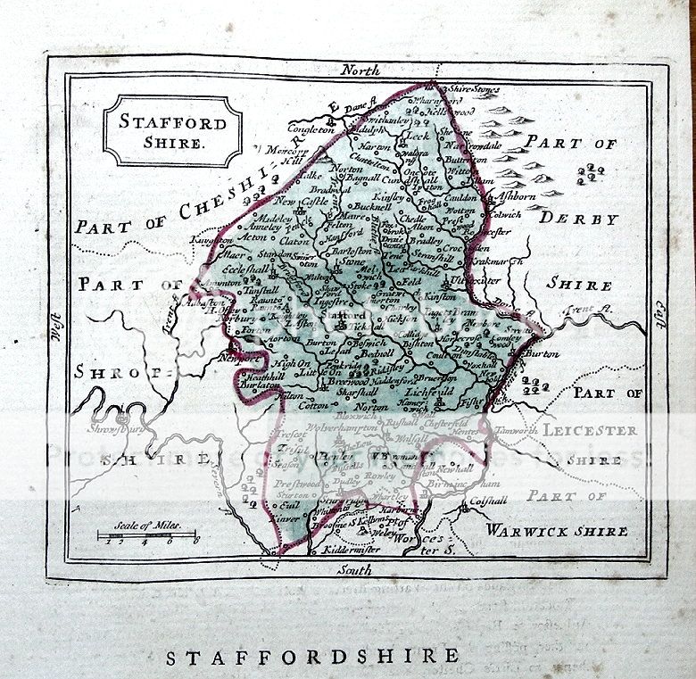
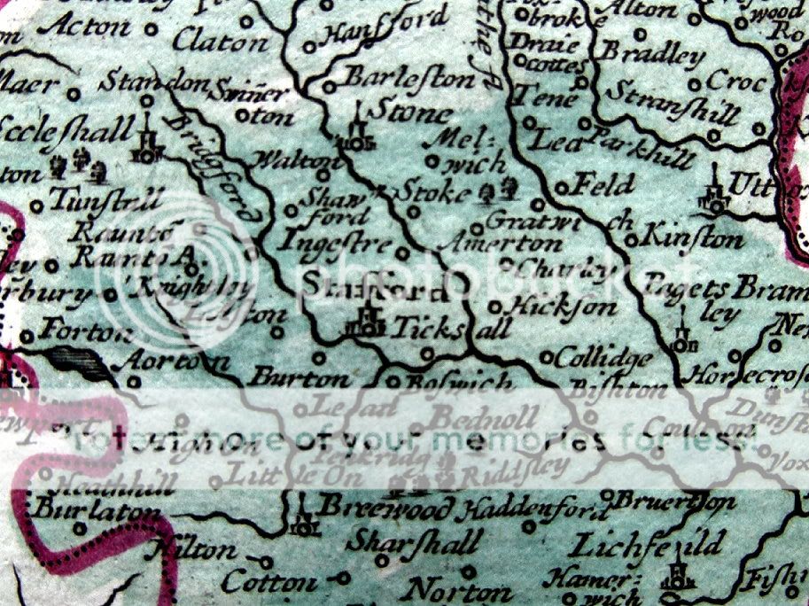
STAFFORDSHIRE by John Seller Please scroll to the very end to view a further close up image. Published circa 1780 in Francis Grose's "The Antiquities of England & Wales" An attractive copper engraved antique county map of Staffordshire. Interesting topographical and historical text appears beneath the map and is continued verso( not shown) Fine condition other than some faint staining from probable over inking of the plate, original to the print. Without folds. Approx. 6" x 4.5" (145mm x 120mm) map area only, 10" x 7" ( 260mm x 180mm) overall.. ....................................................... John Seller (c1630 - 1697) was a London mapmaker and dealer in scientific instruments. His crowning achievement in the map world was the "Anglia Contracta" first published in 1696 with its maps of England & Wales reduced and simplified from the famous John Speed maps and published as a small atlas. The maps were used again in "Camden's Brittania Abridged", published in 1701. Francis Grose used them yet again in his "Antiquities of England & Wales" published in various editions from 1773 to 1787.
A GENUINE ANTIQUE MAP GUARANTEED OVER 200 YEARS OLD FROM LINDISFARNE PRINTS We do not deal in reproductions, facsimiles or modern copies of any kind.
SHIPPING Within UK £1.75 via Royal Mail First class. From UK to Europe - £1.95 via Royal Mail Airmail. From the UK to USA and rest of the world - £2.95 via Royal Mail Airmail.
.............................................................. THANKS FOR YOUR INTEREST! ............................................................ Why not browse our ebaystore? Be sure to add me to your favorites list! Check out my other items! 
TZ312 |