|
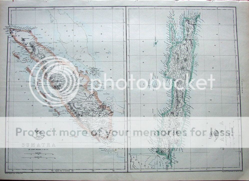
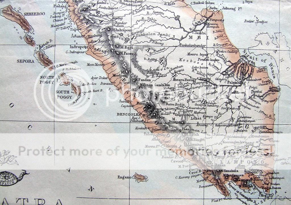
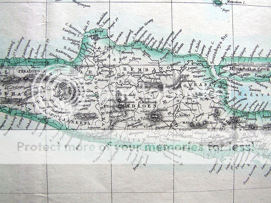
SUMATRA & JAVA Two antique lithographed maps of Sumatra & Java from "The Weekly Dispatch Atlas" published London c1860. Drawn & engraved by Edward Weller, London . Please scroll to the very end to view further close up images With outline hand colouring and in fine, unmarked condition with centrefold as issued. Measuring approx. 17" x 12" (430mm x 310mm) map area only, with margins beyond, on light grade paper, blank verso. A crisp impression Eminently suitable for framing.
A GENUINE ANTIQUE MAP GUARANTEED OVER 150 YEARS OLD FROM LINDISFARNE PRINTS We do not deal in reproductions, facsimiles or copies of any kind.
SHIPPING: Within UK £2.95 Royal Mail 1st class post From UK to Europe £3.95 Royal Mail Air Mail From UK to USA & Rest of the World £ 4.95 Royal Mail Air Mail TWO ITEMS WILL BE COMBINED WITH ONE SHIPPING CHARGE. THREE ITEMS OR MORE WILL BE SHIPPED FREE OF CHARGE WORLDWIDE
Why not browse our ebaystore? .............................................................. THANKS FOR YOUR INTEREST! ............................................................ Be sure to add me to your favorites list! Check out my other items! 
D912 |