
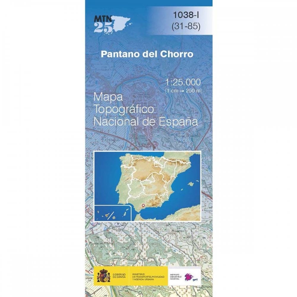
Spain map 1038-I: Pantano Del Chorro hiking walking 1L25K Baetic Mountains
- £4.500
- |
CNIG 1:25,000 scale topographic map number 1038-I covering Pantano Del Chorro, Spain. This very rural area includes large parts of Embalse de Guadalteba, Embalse de Guadalhorce and Embalse del Conde de Cuadalhorce and parts of the Sistema Betico (Baetic System mountain range.)
About the map series
The MTN25 (Mapa Topográfico Nacional) series from CNIG (The Centro Nacional de Información Geografica) provide topographic coverage of mainland Spain at 1:25,000 – the Spanish equivalent of the Ordnance Survey Explorer series.
Each map covers approximately 14x9 km. The maps have a 1-km UTM grid, plus margin ticks for latitude and longitude at 1' intervals. The map legend is in Spanish only.
How to find the right map
Each 25K map covers a quarter of the corresponding 1:50,000 map, with the numbering system: I = NW quarter, II = NE quarter, III = SW quarter, and IV = SE quarter.
Use the 50k map index below to find the number(s) you are after. Once found, either use our search at the top of the page or follow these links to the relevant subset of maps:
- 0001-0100
- 0101-0200
- 0201-0300
- 0301-0400
- 0401-0500
- 0501-0600
- 0601-0700
- 0701-0800
- 0801-0900
- 0901-1000
- 1000-1111
We recognise that this isn’t as intuitive as we would like so if you do find yourself struggling, please do get in contact or give us a call on +44(0)1380 72 72 28
Map index
Click on the map below and an index of that zone will open in a new window.
