
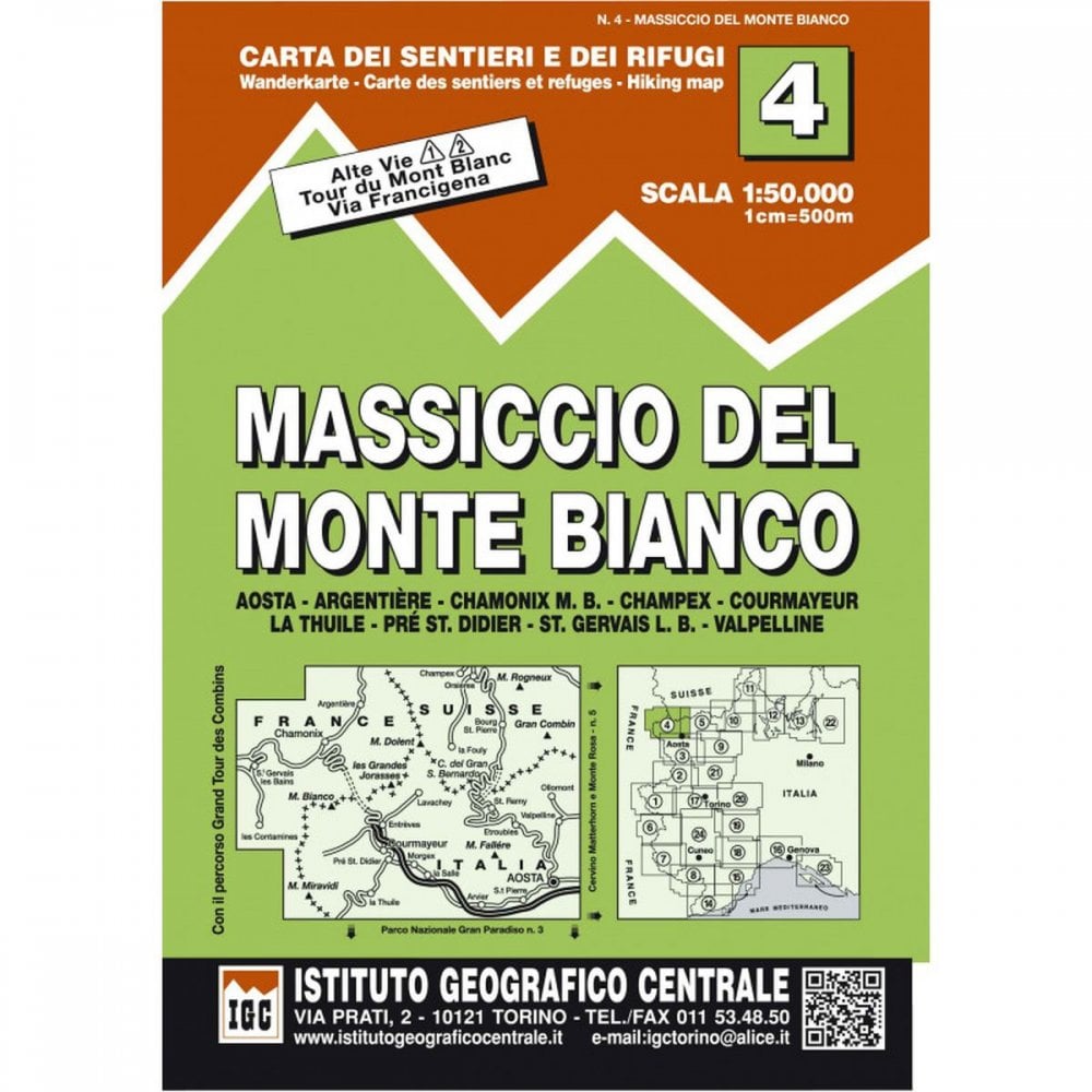
Italy Mont Blanc Massif 50K IGC Map 4 hiking via ferrata refuges Alta Via 1 & 2
- £16.00
- |
A Topographic hiking map of the MONT BLANC MASSIF with paths for Alta Via 1 and 2 - Tour du Mont Blanc - Tour des Combins - Via Francigena
It includes the areas of:
Aosta - Argentiere - Chamonix - Champex - Courmayeur - La Thuile - Pre St.Didier - St.Gervais - Valpelline
Swiss Towns/Villages of Champex, Orsieres, Bourg St Pierre, la Fouly
French Towns/Villages of Argentiere, Chamonix, Saint Gervais les Bains, les Contamines
Italian Towns/Villages of la Thulle, Pre St Didier, Courmayeur, Morgex, la Salle, Entreves, Lavachey, Arvier, St Pierre, Aosta, Entroubles, St Remy, Valpelline, Ollomont
EDITION 2013 (latest)
The maps have contours at 50m intervals, enhanced by shading and graphic relief. Local trails, via ferrata, long-distance footpaths, mountain accommodation, walking, skiing and tourist facilities etc.