
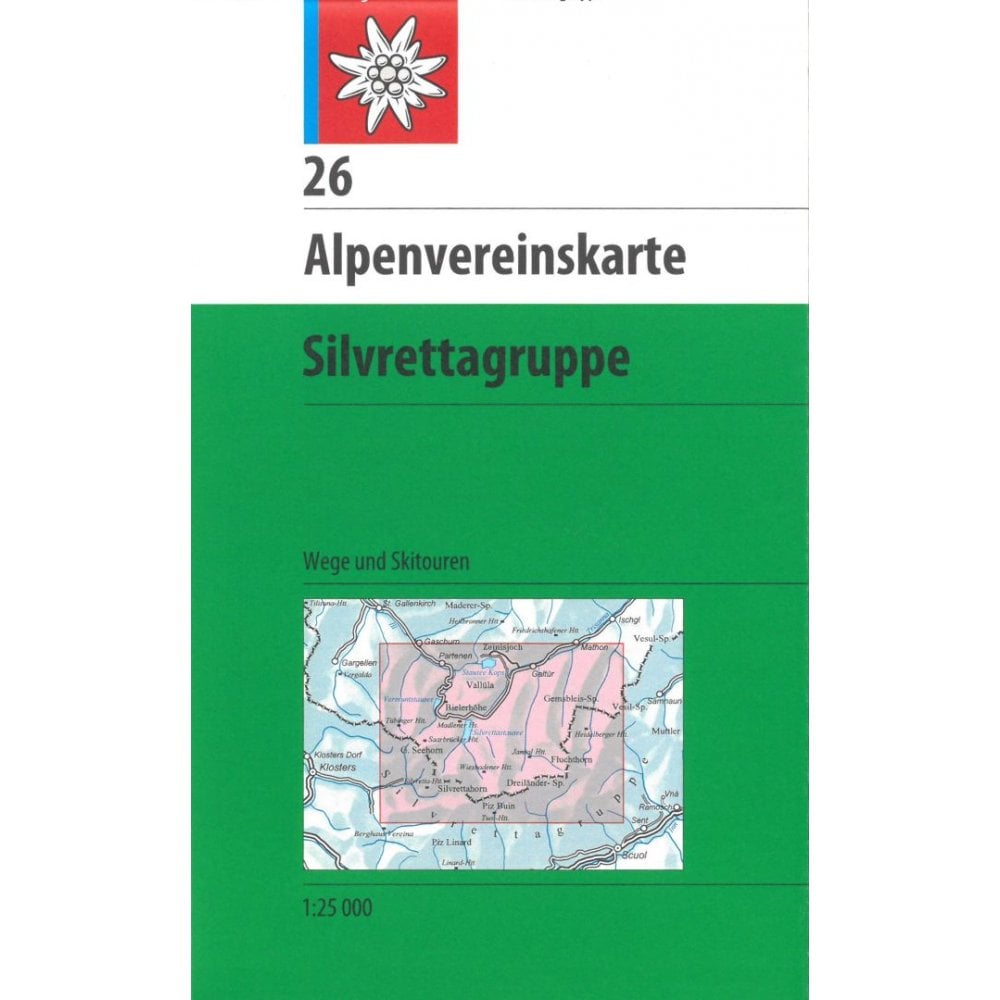
Austria/Switzerland 1:25k Alpenvereinskarte Central Alps 26: Silvrettagruppe
- £11.990
- |
This is a detailed Paths and Ski map of the Silvrettagruppe region and is printed at the 1:25.000 scale.
This detailed Paths and Ski map of the Silvrettagruppe is printed at the 1:25.000 scale.
It includes coverage of the following places in Austria: Bielerhöhe, Chamonna Tuoi, Dreiländerspitze, Fluchthorn, Galtür, Gaschurn, Gross Litzner, Heidelberger Hütte, Partenen, Piz Buin, Seehorn, Silvrettahorn, Silvrettahütte, Tübinger Hütte, Vallüla, Verstanclahorn, Wiesbadener Hütte.
Alpine Club maps (Alpenvereinskarten, often abbreviated to AV-Karten i.e. AV maps) are popular maps that cover the Alpine Regions of Austria and Germany, mainly at 1:25,000.
They are the best and most detailed maps of the German and Austrian Alps with contours at 20m intervals and shading. Hiking paths / Ski routes are clearly marked with waymarking numbers along with campsites, mountain huts and refuges.
The map index can be found in the product photos. The traditional Alpenverein maps at 1: 25,000 are shown in dark green, the AV Bavarian Alps 1: 25,000 maps in blue and the 1: 50,000 maps from the Federal Office for Calibration and Surveying in yellow-green.
PLEASE NOTE: Some areas have maps published that combine both Hiking and Ski routes but other areas are covered by separate editions: one for hiking and one for Ski. We have stated the activities for each map in the series in the product titles.