 |
See our ratings  Add this shop to my favorites  |
|
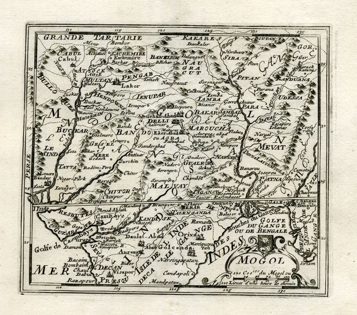 |
Antique Map of Northern India and Pakistan by Bachiene (1758) $ 423.68 instead of Availability: in stock Condition : Good, general age-related toning. Please study image carefully. Date : 1758 Overall size : 19 x 17.5 cm. Image size : 15.5 x 13.5 cm. Description: Antique map titled 'Mogol'. Map of Northern India and Pakistan ('Mogol'), showing Kabul, Delhi and surroundings. This map originates from 'Kort begrip der Oude en Nieuwe Staatkundige Geographie', by W.A. Bachiene, published by Covens & Mortier in 1758, printed in Utrecht by Jan Jakob van Pootsum. |
|