See our ratings  Add this shop to my favorites  |
||
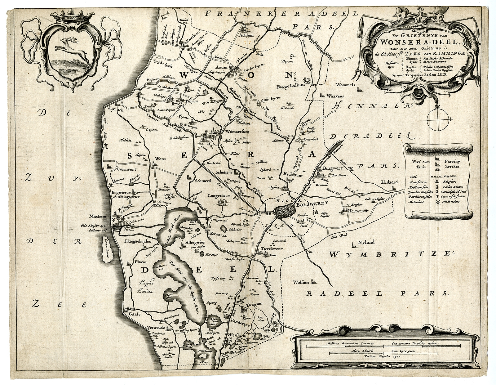 |
Antique Map of the region of Wonseradeel by Schotanus (1664) $ 161.82 instead of Availability: in stock Condition : Fair, given age. Edges with some small tears; backed. No top margin. Several vertical creases. Original folds, as issued. General age-related toning and/or occasional minor defects from handling. Please study image carefully. Date : 1664 Overall size : 37.2 x 29 cm. Image size : 36.2 x 28.3 cm. Description: Antique map titled 'De Grietenije van Wonsera-deel (..).' Map of the Grietenij of Wonseradeel, Friesland, The Netherlands. Multiple cartouches, key and coat of arms. "Beschrijvinge ende nieuwe caerten van de Heerlyckheydt van Frieslandt (…).", by Schotanus a Sterringa, first published in 1664. |
|