 |
See our ratings  Add this shop to my favorites  |
|
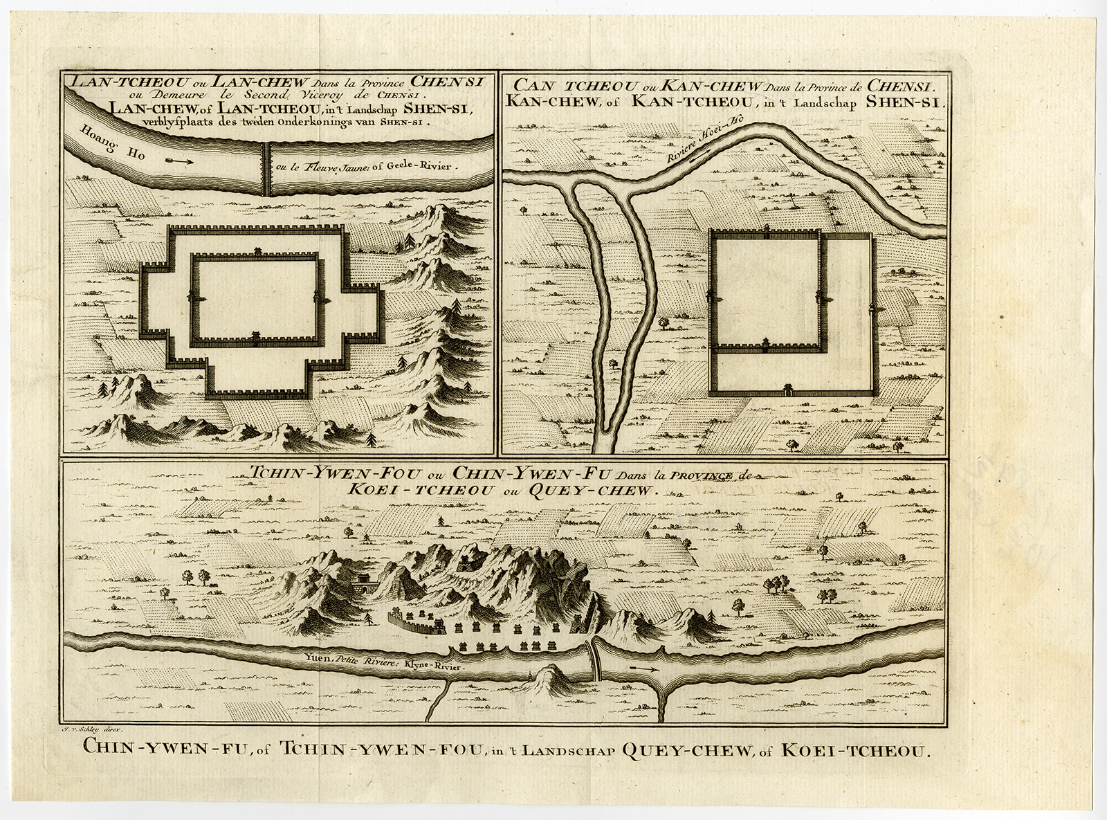 |
Antique Map of Chinese Cities by Van Schley (1758) $ 329.53 instead of Availability: in stock Condition : Excellent, given age. Original folds, as issued. General age-related toning and/or occasional minor defects from handling. Please study image carefully. Date : 1758 Overall size : 33.2 x 24.3 cm. Image size : 28.6 x 22.5 cm. Description: Antique map titled 'Lan-Tcheou ou Lan-Chew dan la province Chensi; Can Tcheou ou Kan-Chew dan la province de Chensi; Tchin-Ywe-Fou ou Chin-Ywen-Fu dans la province de Koei-Tcheou ou Quey-chew.' Three plans of old Chinese cities. While these maps by Van Schley after Bellin were initially made for 'Histoire Generale des Voyages' (Paris 1746-1759), this is from the 1758 Dutch edition of that work published by Arkstee & Merkus. |
|