See our ratings  Add this shop to my favorites  |
||
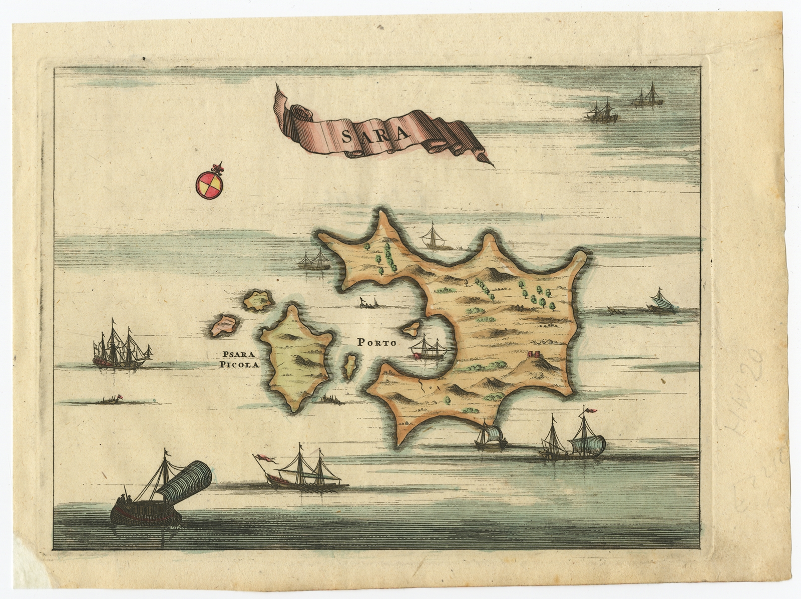 |
Antique Map of the Island of Psara by Dapper (1688) $ 175.95 Availability: in stock Condition : Good, given age. Small piece of paper missing in the margin bottom left corner;backed. General age-related toning and/or occasional minor defects from handling. Please study image carefully. Date : 1688 Overall size : 20 x 14.8 cm. Image size : 16.7 x 12.5 cm. Description: Antique map titled 'Sara.' Map of Psara ( Psyra or Ipsera) Island (North East Aegean Islands), Greece. This map originates from 'Nauwkeurige Beschrijving der eilanden in de Archipel der Middellantsche Zee' by Olfert Dapper. Artists and Engravers: Made by 'Olfert Dapper' after an anonymous artist. Olfert Dapper (c. 1635 - 1689) was a Dutch physician and writer. He wrote books about history and geography, although he never travelled outside Holland. Until today, his book Description of Africa (1668) is a key text for Africanists. |
|