See our ratings  Add this shop to my favorites  |
||
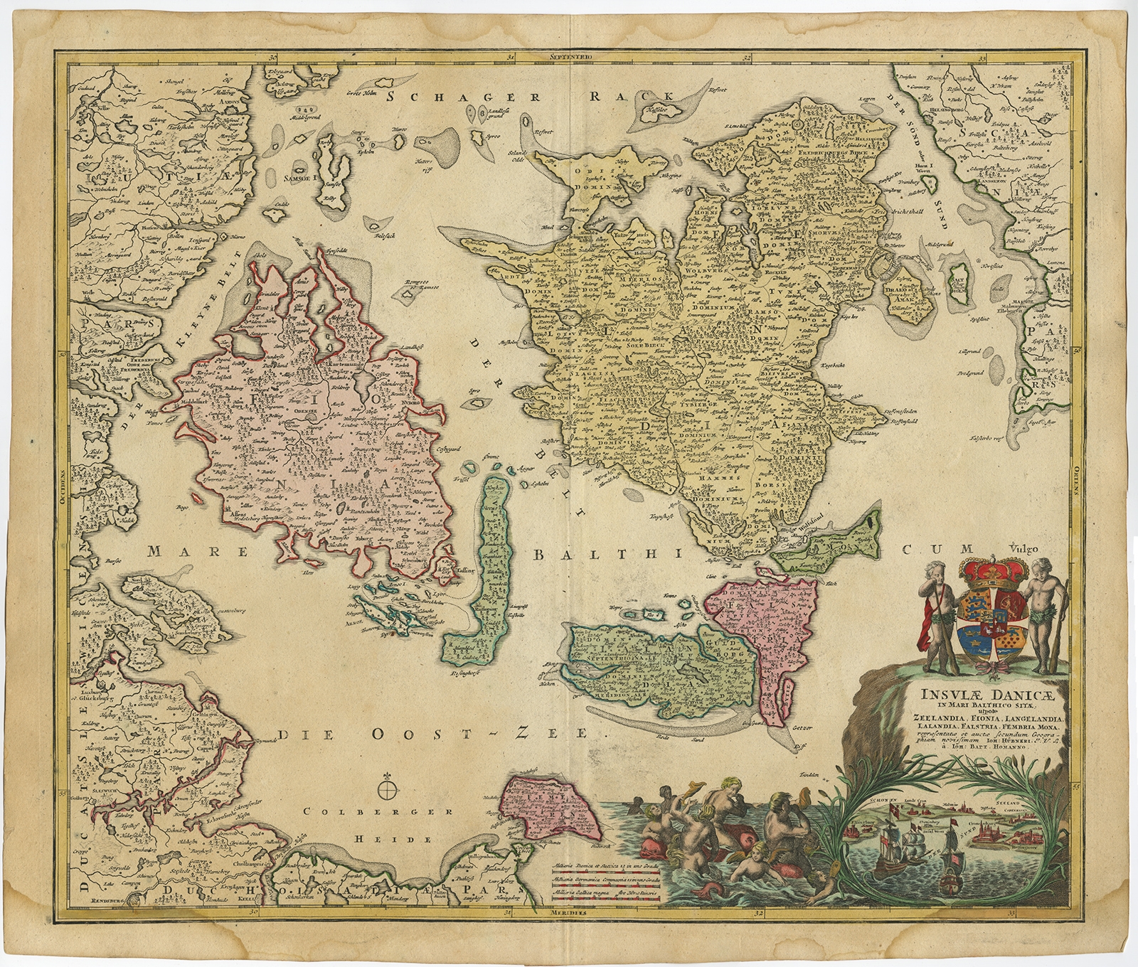 |
Antique Map of the Islands of Denmark by Homann Heirs (1720) $ 408.97 instead of Availability: in stock Condition : Fair/good, given age. Top margin damp stained, barely touching image. Bottom left and right damp stained, extending 1cm into image. Small tear bottom edge, not affecting image. Paper slightly browned at places. A few small spots. Original middle fold as issued. General age-related toning and/or occasional minor defects from handling. Please study scan carefully. Date : 1720 Overall size : 63.2 x 53.8 cm. Image size : 58 x 49.4 cm. Description: Antique map titled 'Insula Danicae in Mari Balthico sitae (..).' - Map of the Danish islands situated in the Baltic Sea by J. B. Homann, (after J. Hübner's map of the region ) with great figure and superb coloured title-cartouche with views on Copenhagen, Malmö, Cronenburg etc. Source unknown, to be determined. |
|