 |
See our ratings  Add this shop to my favorites  |
|
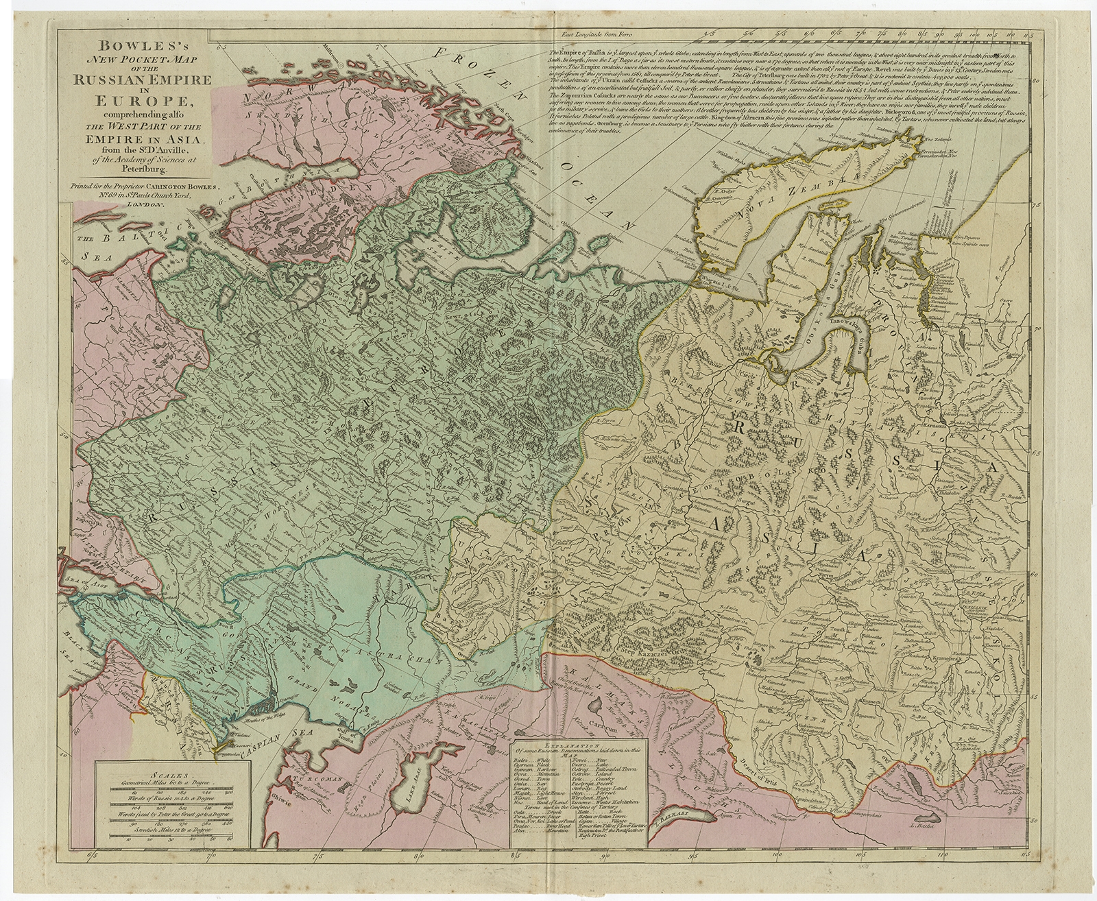 |
Antique Map of the Russian Empire in Europe by Bowles (c.1780) $ 1,–0.36 Availability: in stock Condition : Good, given age. Original/contemporary hand coloring. A few brown spots. Several vertical creases. Original middle fold as issued. General age-related toning and/or occasional minor defects from handling. Blank verso. Please study image carefully. Date : c.1780 Overall size : 61.3 x 50.7 cm. Image size : 56.2 x 48 cm. Description: Antique map titled 'Bowles's New Pocket Map of the Russian Empire in Europe, Comprehending the West Part of the Empire in Asia' Large and detailed map of the Russian Empire in Europe. Source unknown, to be determined. Artists and Engravers: Made by 'Thomas & Carington Bowles' after 'D'Anville'. Thomas Bowles, born around 1712, was map publisher and seller in London. The business was continued by John and Carrington Bowles and finally under the name Bowles and Carver until early 19th century. Thomas died in 1767. |
|