See our ratings  Add this shop to my favorites  |
||
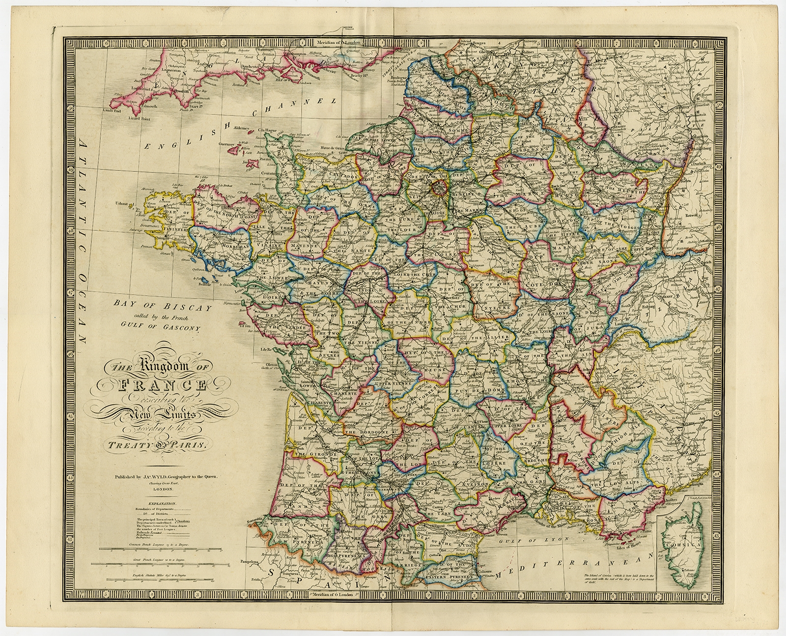 |
Antique Map of France by Wyld (1854) $ 906.21 Availability: in stock Condition : Good, given age. Original middle fold as issued. Small tear in top left margin. Right margin a bit browned. Horizontal crease. Contemporary hand coloring. General age-related toning and/or occasional minor defects from handling. Please study scan carefully. Date : 1854 Overall size : 72 x 58.5 cm. Image size : 62 x 53.2 cm. Description: Antique map titled 'The Kingdom of France, describing the new limits according to the treaty of Paris. (1815)'. Large map of France. From James Wyld's 'A New General Atlas of Modern Geography.', published by James Wyld. Geographer to Her Majesty Charing Cross East. 1854. |
|