See our ratings  Add this shop to my favorites  |
||
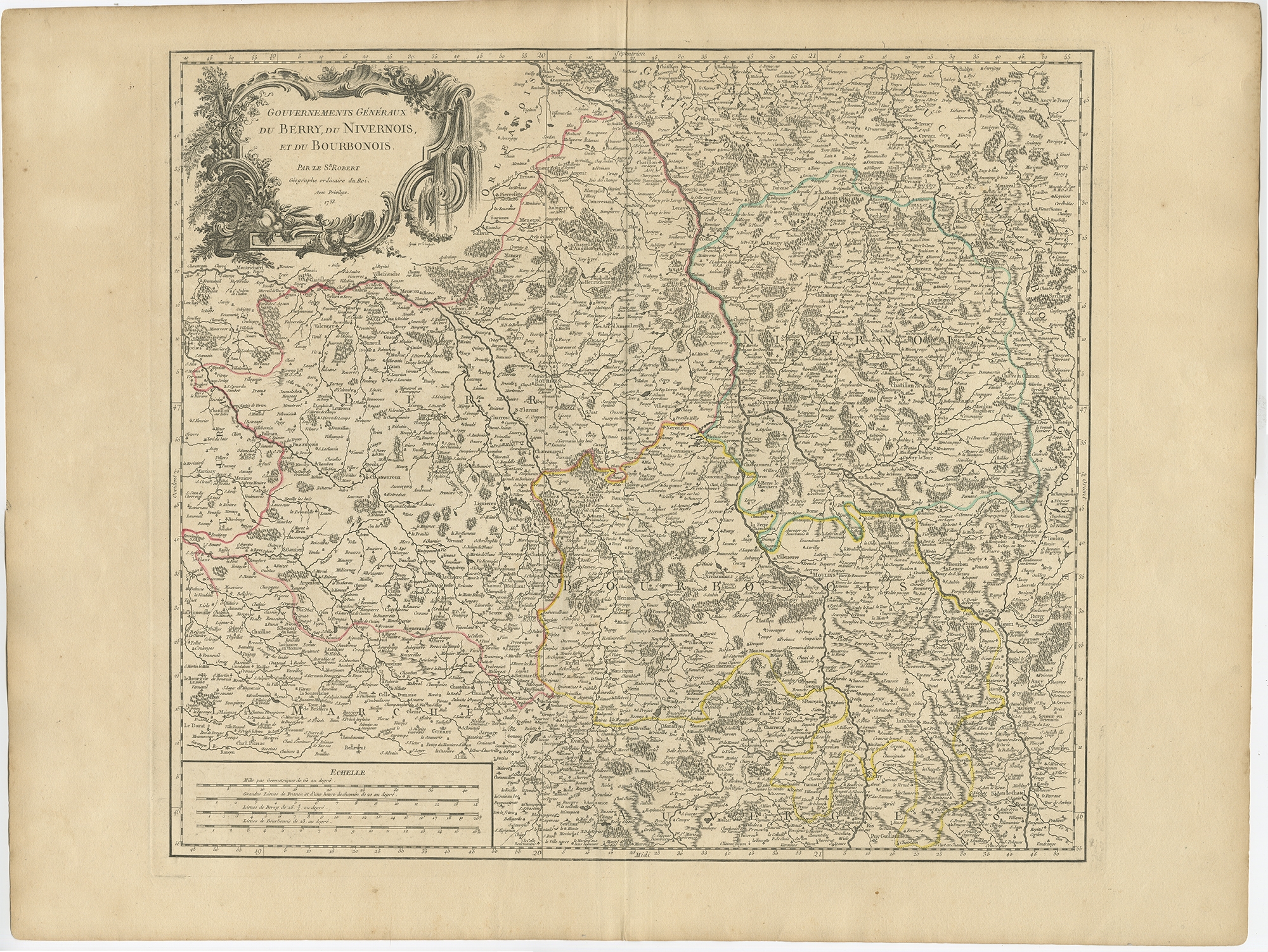 |
Antique Map of the region of Berry, Nivernois and Bourbonnais by Vaugondy (1753) $ 659.06 instead of Availability: in stock Condition : Good, general age-related toning. Original folding line. Some wear and soiling, blank verso. Please study image carefully. Date : 1753 Overall size : 73 x 56 cm. Image size : 54 x 48 cm. Description: Antique map titled 'Gouvernements généraux du Berry, du Nivernois et du Bourbonois'. Large, original antique map of the region of Berry, Nivernois and Bourbonnais, France. Features a decorative cartouche with fruits and flowing water. Artists and Engravers: Gilles Robert de Vaugondy (1688–1766), also known as Le Sieur or Monsieur Robert, and his son, Didier Robert de Vaugondy (1723–1786), were leading cartographers in France during the 18th century. In 1757 they published The Atlas Universel, one of the most important atlases of the 18th century. |
|