See our ratings  Add this shop to my favorites  |
||
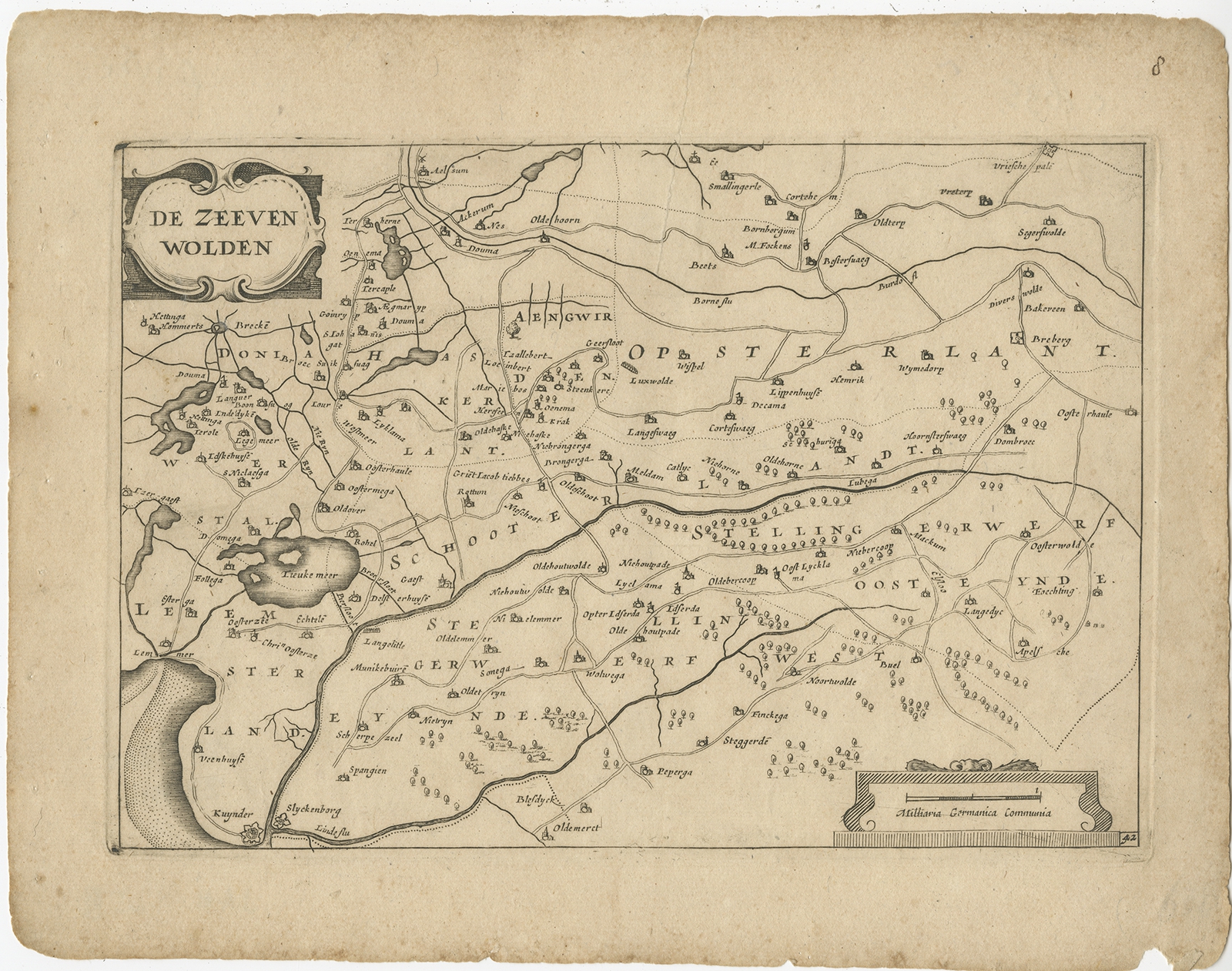 |
Antique Map of the Region of Zevenwouden by Colom (1660) $ 105.33 instead of Availability: in stock Condition : Fair, age-related toning. Repaired tear on the upper part of the map. Some wear and other minor defects. Blank verso. Please study image carefully. Date : 1660 Overall size : 27 x 21.5 cm. Image size : 23 x 16 cm. Description: Antique map titled 'De Zeeven Wolden'. Map of the region of Zevenwouden (or Zevenwolden) in Friesland, the Netherlands. This region include the villages of Langweer, Echtenerbrug, Lemmer, Heerenveen, Jubbega, Wolvega and many others. This map originates from 'Vyerige Colom verthonende de 17 Nederlandsche Provintien.', published by Jacob Aertsz. Colom, Amsterdam, 1660. Artists and Engravers: Jacob Aertz. Colom (also Kalom or Calom, 1599-1673) was a printer, publisher, bookseller, geographer, cartographer and poet from Dordrecht, The Netherlands. |
|