
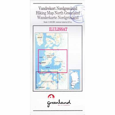
Ilulissat: West Greenland Hiking Trekking Topographic Map No.12 (1:100 000)
- £17.95
- |
Showing the region of Paakitsup and Nunaa to Isua including the Kangia Ice Fjord, with clear coloured topographic mapping, which shows how the front line of the Sermeq Kujalleq glacier has retreated since 1985. The reverse of the map has an enlargement of the Illulissat area. Information on the reverse of the map is shown in English.
These are the only topographic hiking maps of Greenland printed on waterproof paper (produced by Harvey Maps). The reverse side of the map has information on hiking, weather, choice of route, clothing, camping etc. The best detailed maps of Greenland.