See our ratings  Add this shop to my favorites  |
||
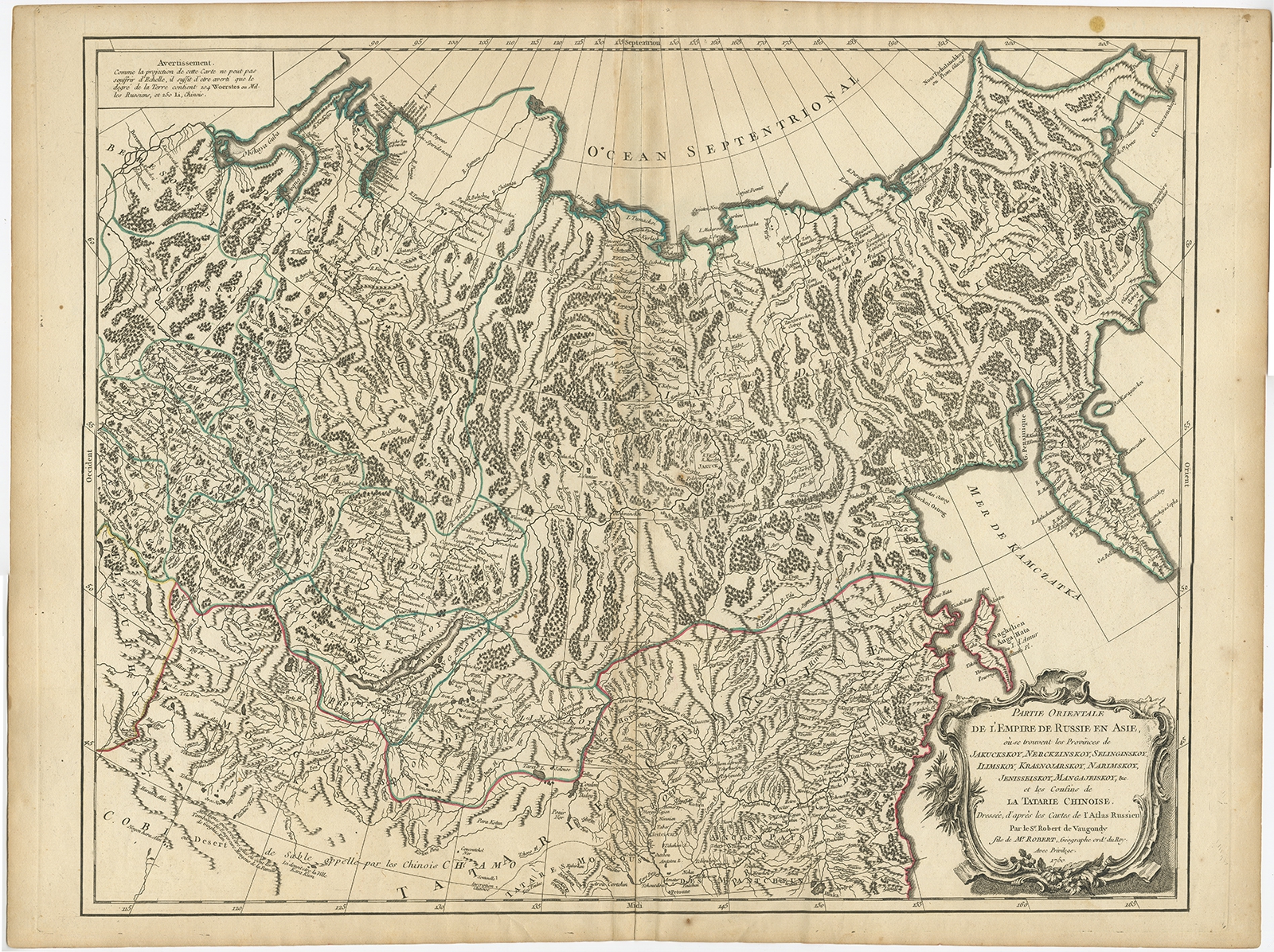 |
Antique Map of the Russian Empire in Asia by Vaugondy (1750) $ 300.73 Availability: in stock Condition : Good, general age-related toning. Please study image carefully. Date : 1750 Overall size : 66 x 50 cm. Image size : 58.5 x 46.5 cm. Description: Antique map titled 'Partie Orientale de l'Empire de Russie en Asie (..)'. Detailed map of the Russian Empire in Asia. Artists and Engravers: Gilles Robert de Vaugondy (1688-1766) was the head of a leading family of geographers in eighteenth century France. Gilles got his start when he jointly inherited the shop of Pierre-Moullart Sanson, grandson of the famous geographer Nicholas Sanson. The inheritance included the business, its stock of plates, and a roller press. In 1760 Gilles became geographer to King Louis XV. His son, Didier Robert de Vaugondy (ca. 1723-1786), was also a geographer and the two worked together. They were known for their exactitude and depth of research. In 1757, they produced the Atlas Universel, considered an authority for many years. |
|