See our ratings  Add this shop to my favorites  |
||
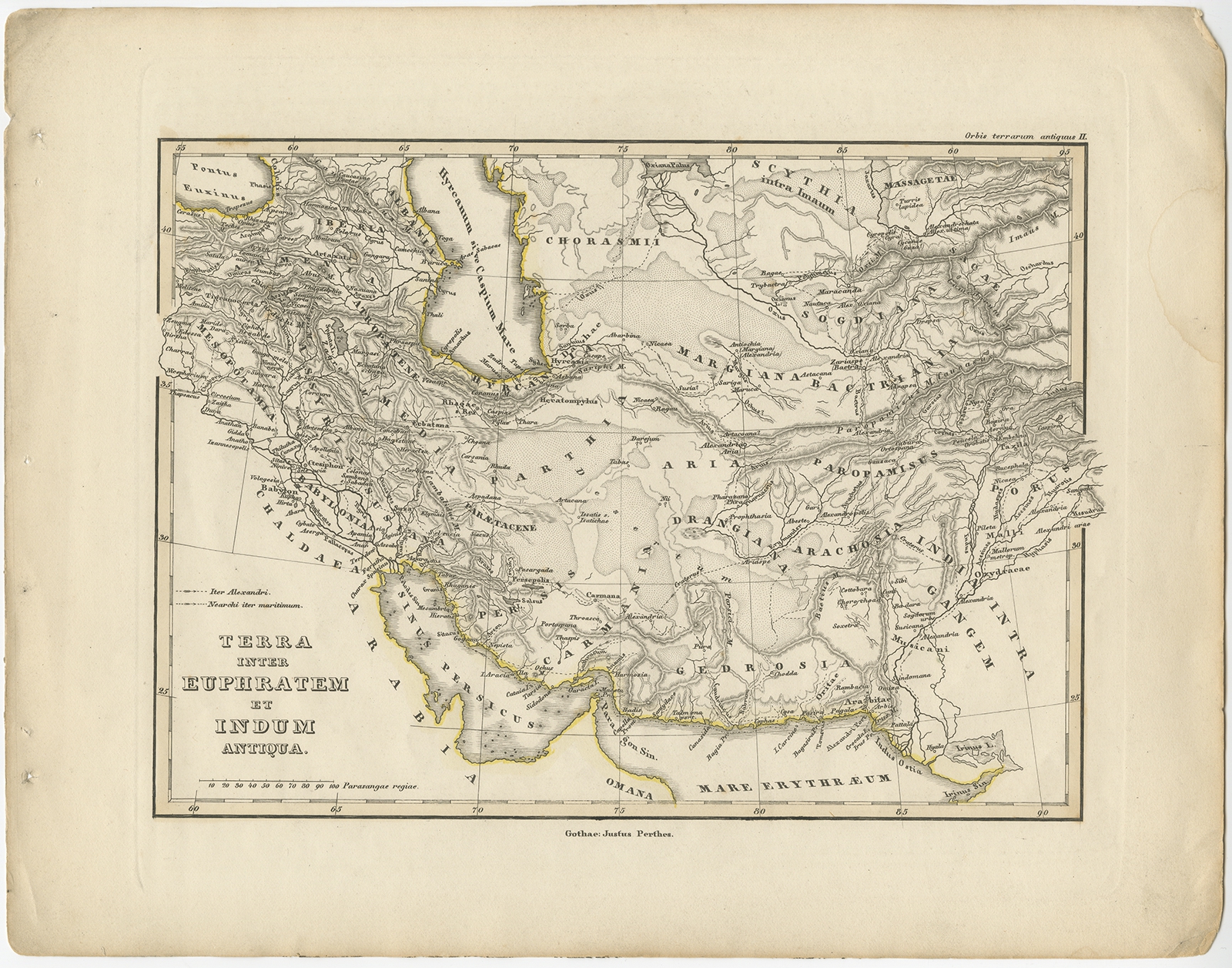 |
Antique Map of the Middle East by Perthes (1848) $ 113.28 Availability: in stock Condition : Good, general age-related toning. Minor defects, please study image carefully. Date : 1848 Overall size : 31.8 x 24.8 cm. Image size : 24.3 x 17.8 cm. Description: Antique map titled 'Terra inter Euphratem et Indum Antiqua'. Old map of the Middle East originating from 'Orbis Terrarum Antiquus in usum Scholarum'. Artists and Engravers: Published by Justus Perthes, 1848. |
|