See our ratings  Add this shop to my favorites  |
||
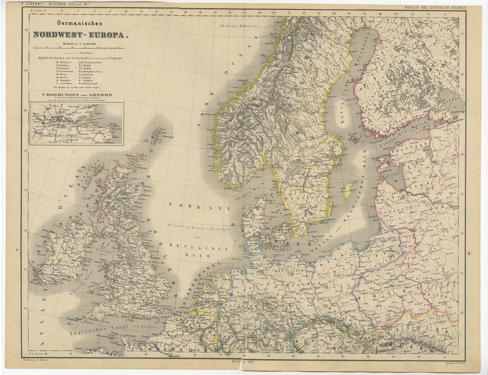 |
Antique Map of Northwest Europe by Kiepert (c.1870) $ 154.68 Availability: in stock Condition : Good, general age-related toning. Split on folding line, please study image carefully. Date : c.1870 Overall size : 45.7 x 35 cm. Image size : 42.7 x 33.6 cm. Description: Antique map titled 'Germanisches Nordwest-Europa'. Old map of North-West Europe depicting the United Kingdom, Ireland, the Netherlands, Germany, Scandinavia and surroundings. This map originates from 'H. Kiepert's Kleiner Atlas der Neueren Geographie für Schule und Haus'. Artists and Engravers: Kiepert, Heinrich (1818-1899), was a German geographer, and the son of a wealthy businessman. |
|