See our ratings  Add this shop to my favorites  |
||
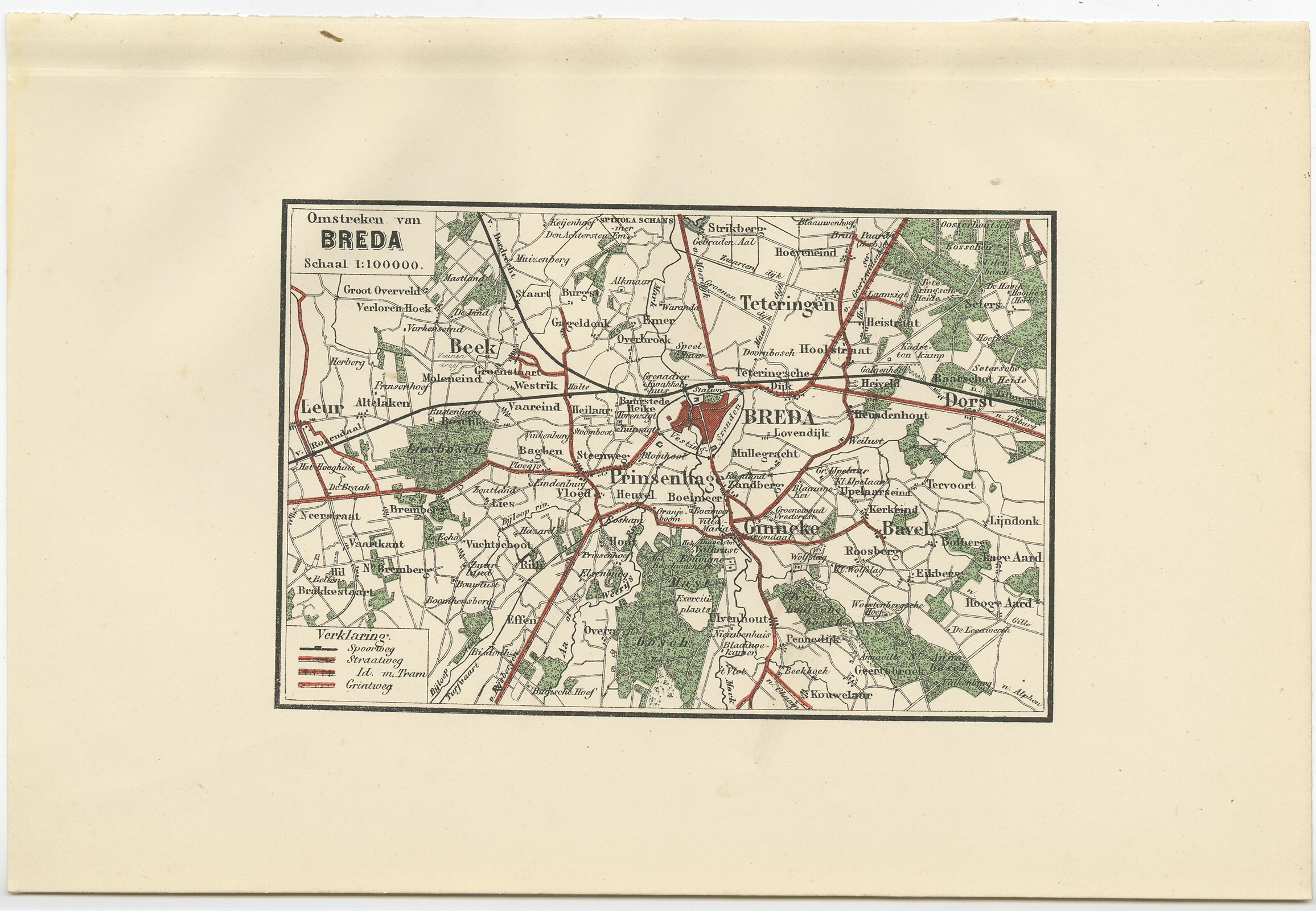 |
Antique Map of the Region of Breda by Craandijk (1884) $ 99.48 Availability: in stock Condition : Good, general age-related toning. Minor defects from handling, please study image carefully. Date : 1884 Overall size : 26.6 x 17.8 cm. Image size : 15.8 x 10.4 cm. Description: Antique map titled 'Omstreken van Breda'. Old map of the region of Breda also including cities and villages like Beek, Bavel, Leur, and Teteringen. This map orginates from 'Atlas behoorende bij Wandelingen door Nederland met Pen en Potlood'. Artists and Engravers: Author: J. Craandijk. Published by H.D. Tjeenk Willink, Haarlem. |
|