 |
See our ratings  Add this shop to my favorites  |
|
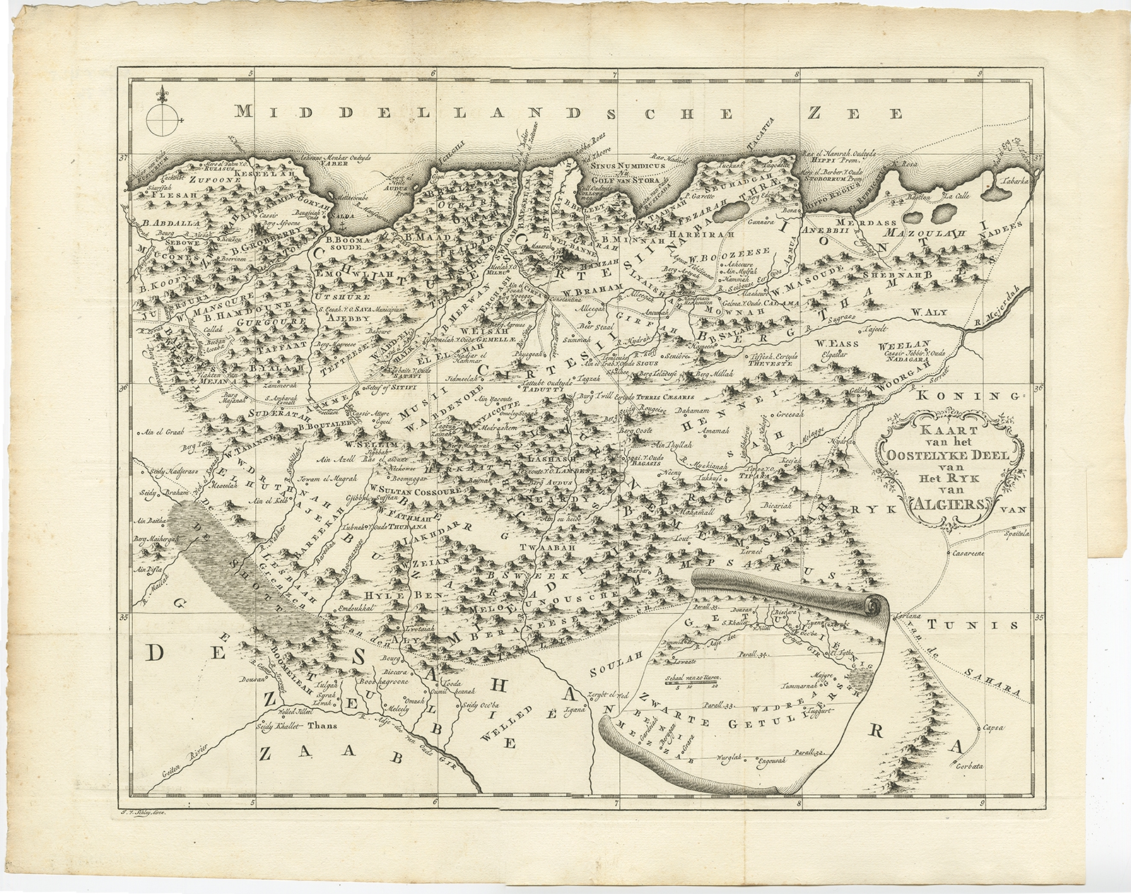 |
Antique Map of the Eastern region of the Kingdom of Algiers by Shaw (1773) $ 541.37 instead of Availability: in stock Condition : Good, general age-related toning. Repair right margin, please study image carefully. Date : 1773 Overall size : 53.5 x 42.5 cm. Image size : 45 x 36 cm. Description: Antique map titled 'Kaart van het Oostelyke Deel van het Ryk van Algiers'. Old map of the eastern region of the Kingdom of Algiers, Algeria. Originates from the first Dutch editon of an interesting travel account of Northern Africa titled 'Reizen en Aanmerkingen door en over Barbaryen en het Ooste'. Artists and Engravers: Author: T. Shaw. Translated by P. Boddaert and published by J. van Schoonhoven. |
|