See our ratings  Add this shop to my favorites  |
||
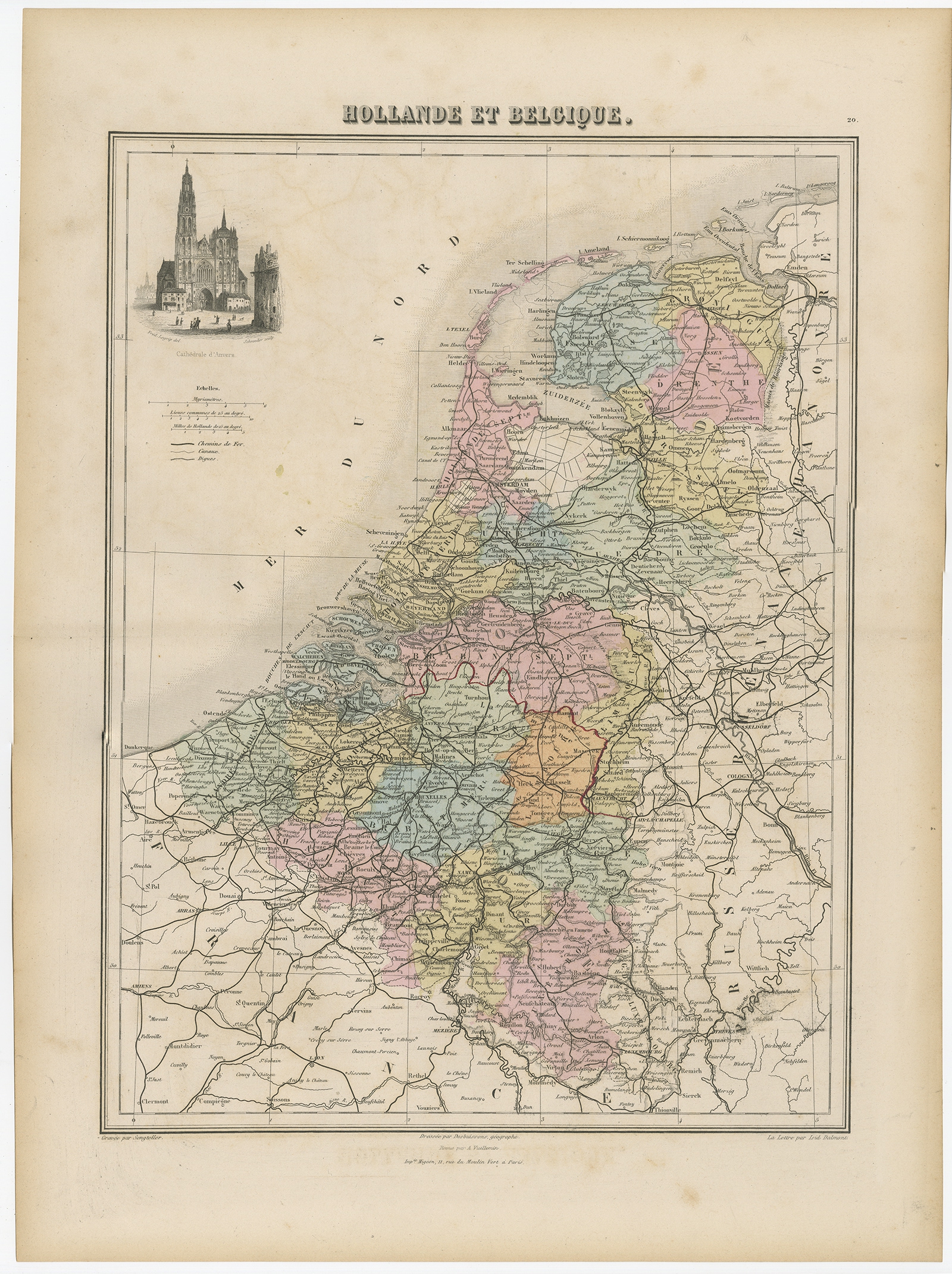 |
Antique Map of the Netherlands and Belgium by Migeon (1880) $ 133.98 Availability: in stock Condition : Good, age-related toning. Please study image carefully. Date : 1880 Overall size : 34.5 x 47.5 cm. Image size : 28 x 37 cm. Description: Antique map titled 'Hollande et Belgique'. Old map of the Netherlands and Belgium. With decorative vignette of the Antwerp cathedral. This map originates from 'Géographie Universelle Atlas-Migeon' by J. Migeon. Artists and Engravers: Published by J. Migeon. Reviewed by A. Vuillemin. Alexandre Vuillemin (1812-1880) was a cartographer and an book editor based in Paris, France. |
|