See our ratings  Add this shop to my favorites  |
||
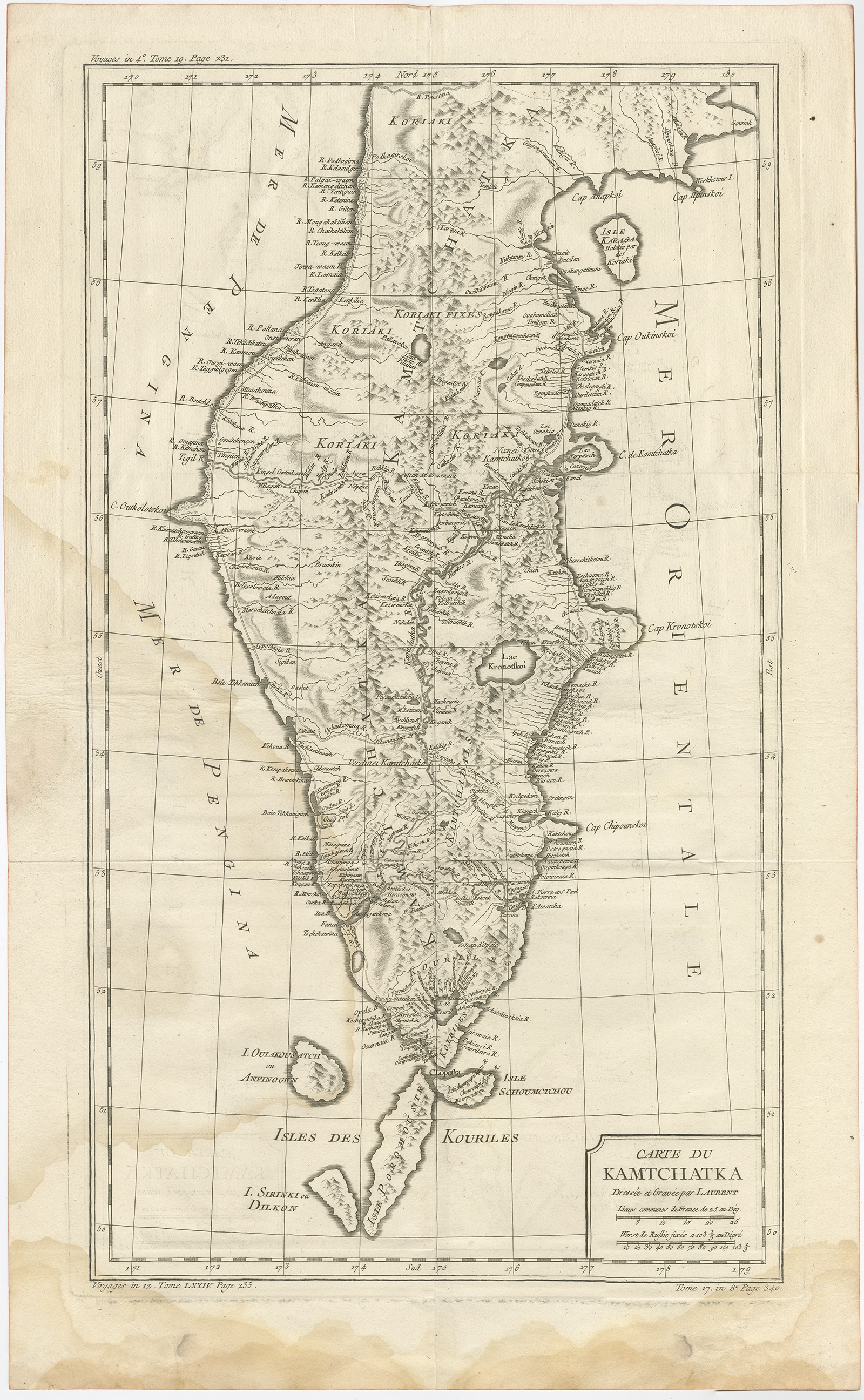 |
Antique Map of the Kamchatka Peninsula by Bellin (1757) $ 192.42 instead of Availability: in stock Condition : Fair, staining lower part of the map. Please study image carefully. Date : 1757 Overall size : 36 x 58.5 cm. Image size : 29.5 x 51.5 cm. Description: Antique map titled 'Carte du Kamtchatka'. Antique map of the Kamchatka Peninsula. The map includes the island of Ouiakous Atch ou Anfinogen, Schoumctchou, and Sirinki ou Dilkon. Originates from Prévost's 'Histoire Générale des Voyages'. Artists and Engravers: Engraved by J. Laurent. Published by J.N. Bellin. |
|