See our ratings  Add this shop to my favorites  |
||
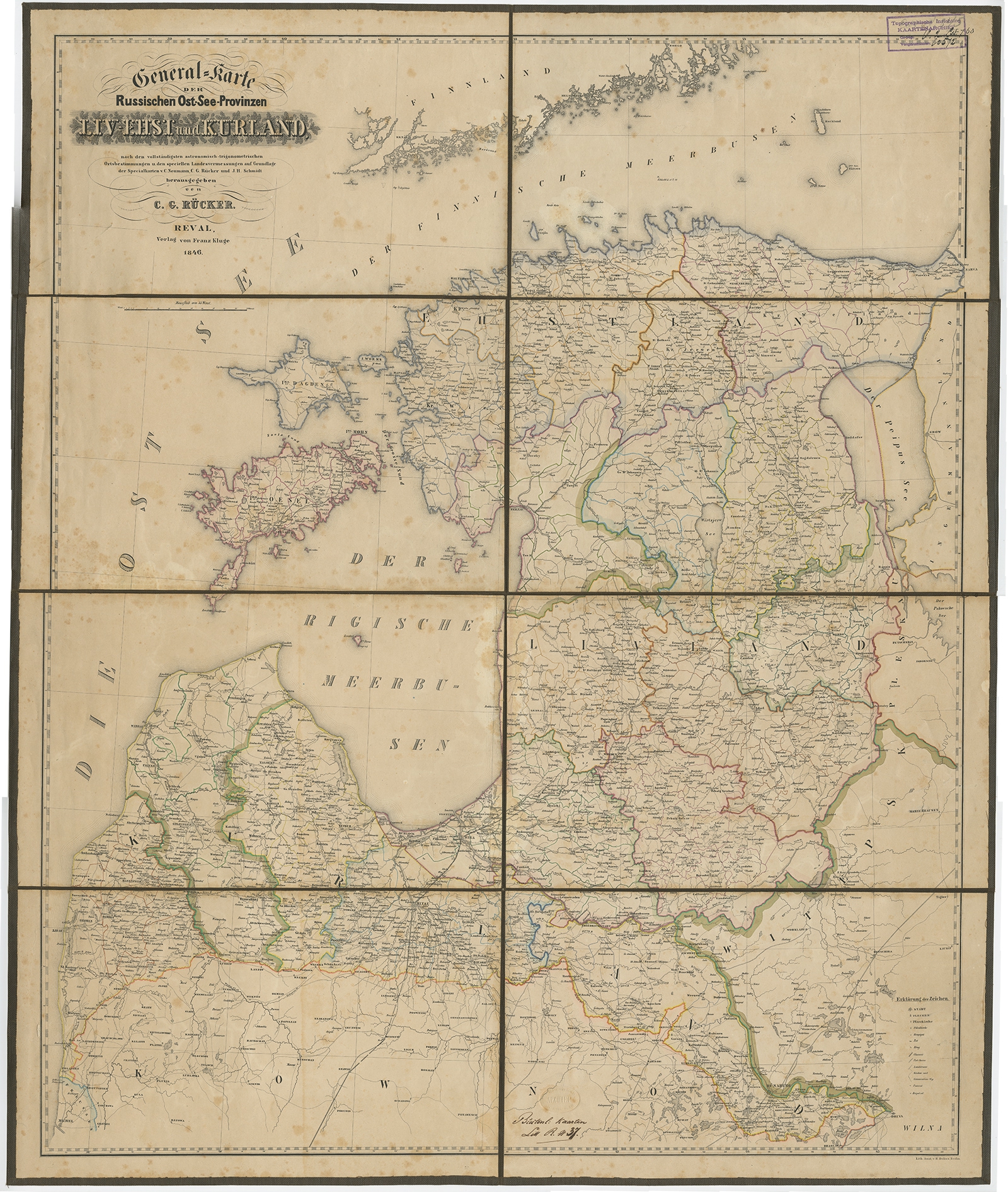 |
Antique Map of the Baltic States by Rücker (1846) $ 513.71 instead of Availability: in stock Condition : Good, age-related toning, some staining and foxing. Please study image carefully. Date : 1846 Overall size : 72 x 86 cm. Image size : 76 x 93 cm. Description: Antique map titled 'General Karte Russischen Ost See-Provinzen Liv-Ehst und Kurland'. Large folding map of the Baltic States, on linen. Artists and Engravers: Published by Franz Kluge, 1846. |
|