 |
See our ratings  Add this shop to my favorites  |
|
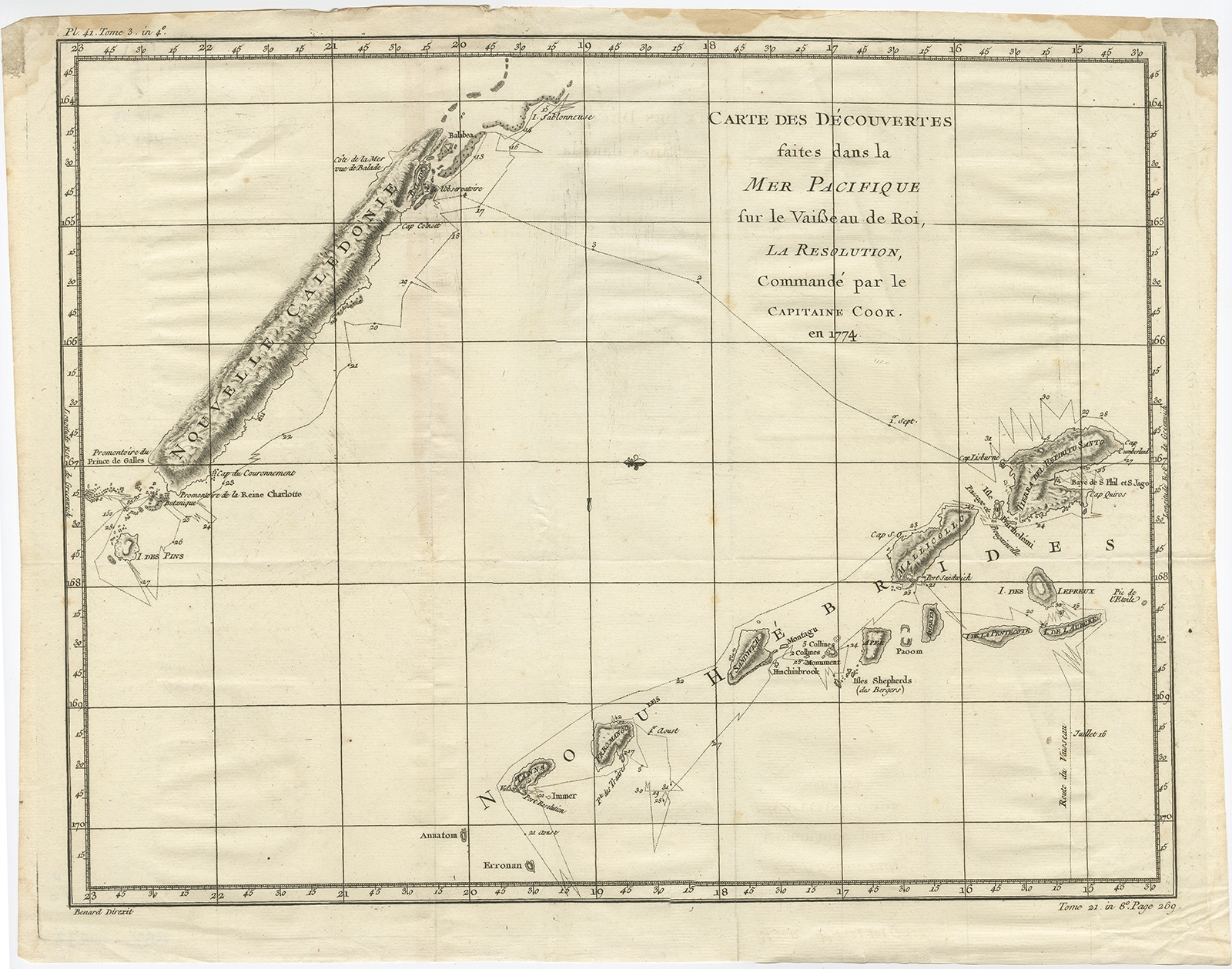 |
Antique Chart of the Voyage of Captain Cook in the Pacific by Benard (1780) $ 339.53 instead of Availability: in stock Condition : Good, strong impression. Few creases, please study image carefully. Date : 1780 Overall size : 30 x 39 cm. Image size : 46 x 35.5 cm. Description: Antique map titled 'Carte des Découvertes faites dans la Mer Pacifique sur la Vaisse au de Roi, La Resolution, Commandé par le Capitaine Cook en 1774'. Chart detailing the 1774 voyage of Captain Cook in the Pacific, showing the track and dates of the Resolution near New Caledonia and New Hebrides. Originates from 'Voyage das L’Hemisphere Austral, et autour du Monde (..)'. Artists and Engravers: Engraved by Benard. Published by La Harpe, Paris. |
|