See our ratings  Add this shop to my favorites  |
||
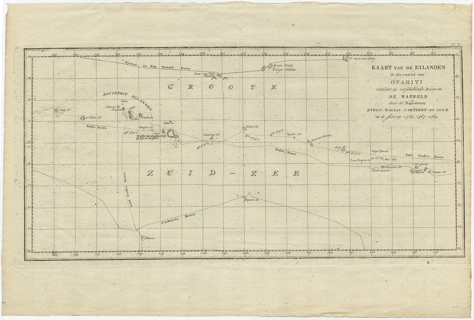 |
Antique Map of French Polynesia by Cook (1803) $ 559.02 instead of Availability: in stock Condition : Good, general age-related toning and some foxing. Please study image carefully. Date : 1803 Overall size : 52.5 x 35.5 cm. Image size : 49.5 x 24 cm. Description: Antique map Tahiti titled 'Kaart van de Eilanden in den omtrek van Otahiti (..)'. Antique map of French Polynesia with the tracks around the island of Tahiti by Captain Byron, Wallis, Carteret and Cook in 1765, 1767 and 1769. Originates from 'Reizen Rondom de Waereld door James Cook (..)'. Artists and Engravers: Translated by J.D. Pasteur. Published by Honkoop, Allart en Van Cleef. |
|