See our ratings  Add this shop to my favorites  |
||
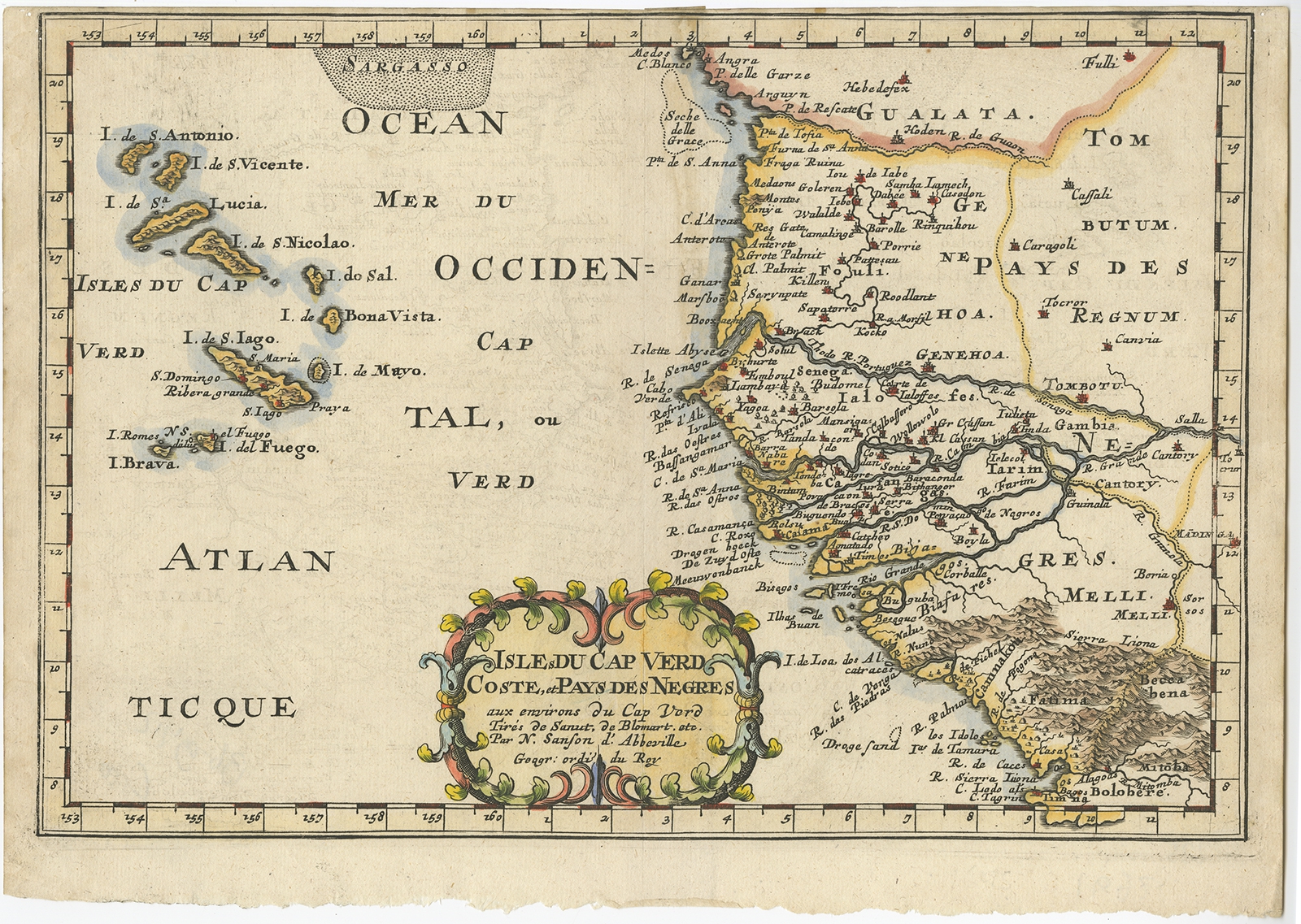 |
Antique Map of Africa and the Cape Verde Islands by Sanson (c.1680) $ 411.91 instead of Availability: in stock Condition : Very good, please study image carefully. Date : c.1680 Overall size : 30 x 21 cm. Image size : 28 x 20 cm. Description: Antique map Africa titled 'Isles du Cap Verd Coste et Pays des Negres'. Antique map of the coast of Africa and the Cape Verde islands. Artists and Engravers: Nicholas Sanson d'Abbeville (1600 - 1667) and his descendents were important French cartographer's active through the 17th century. Sanson started his career as a historian where, it is said, he turned to cartography as a way to illustrate his historical studies. |
|