See our ratings  Add this shop to my favorites  |
||
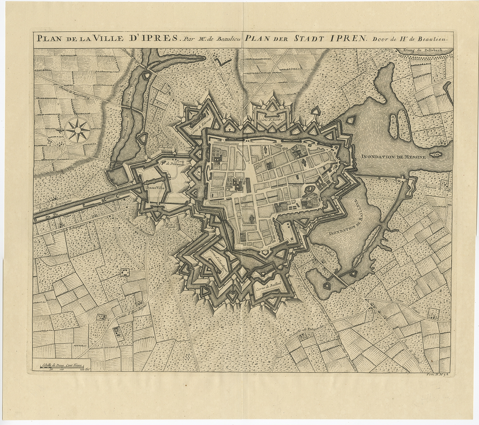 |
Antique Map of the City of Ypres by Beaulieu (1729) $ 261.86 Availability: in stock Condition : Very good, please study image carefully. Date : 1729 Overall size : 55 x 49 cm. Image size : 48.5 x 40 cm. Description: Antique map titled 'Plan de la Ville d'Ipren/Plan der Stadt Ipren'. Map of the city of Ieper/Ypres in Belgium. This map originates from 'Histoire Militaire du Prince Eugene de Savoye, du Prince et Duc de Marlborough, et du Prince de Nassau-Frise' by I. van der Kloot. Artists and Engravers: Author: Sébastien Pontault d'Beaulieu. |
|