See our ratings  Add this shop to my favorites  |
||
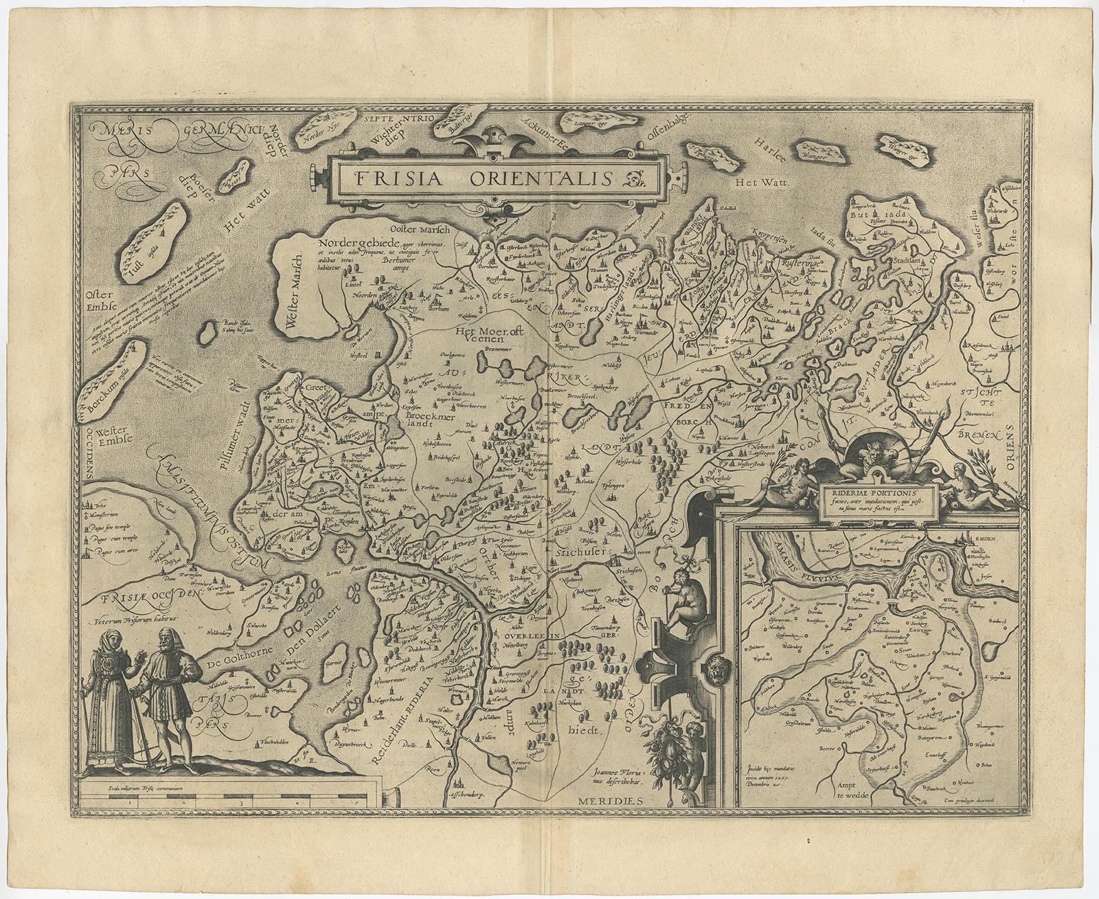 |
Antique Map of East Frisia by Ortelius (c.1595) $ 1,–0.36 Availability: in stock Condition : Good. Age-related toning. Please study image carefully. Date : c.1595 Overall size : 55.8 x 46 cm. Image size : 49.6 x 37.4 cm. Description: Antique print, titled: 'Frisia Orientalis.' Map of East Frisia originating from 'Theatrum Orbis Terrarum'. It is based on the manuscript map by Jon Bloemmaerts or Johannes Florianus and depicts the important shipping center of Emden and the Watten Islands. An inset shows the region inundated by the great flood on Christmas Day, 1277, surrounded by an elaborate strapwork cartouche. The map is finely engraved with a stippled sea and a distance scale surmounted by male and female figures displaying the costumes of the region. Latin text on verso. |
|