See our ratings  Add this shop to my favorites  |
||
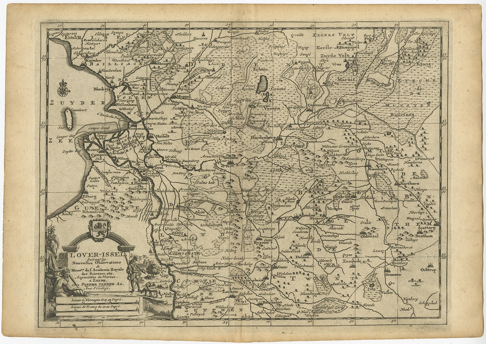 |
Antique Map of Overijssel by Van der Aa (c.1715) $ 223.02 instead of Availability: in stock Condition : Good. General age-related toning. Please study image carefully. Date : c.1715 Overall size : 35 x 25 cm. Image size : 30 x 22 cm. Description: Antique map titled 'L'Over-Issel'. This map depicts the Dutch province Overijssel. This map originates from 'Nouvel Atlas, très exact et fort commode pour toutes sortes de personnes, Contenant Les Principales cartes géographiques' published in Leiden by P. Van der Aa. Artists and Engravers: Pieter van der Aa (Leiden 1659-1733) was a Dutch publisher best known for preparing maps and atlases. |
|