See our ratings  Add this shop to my favorites  |
||
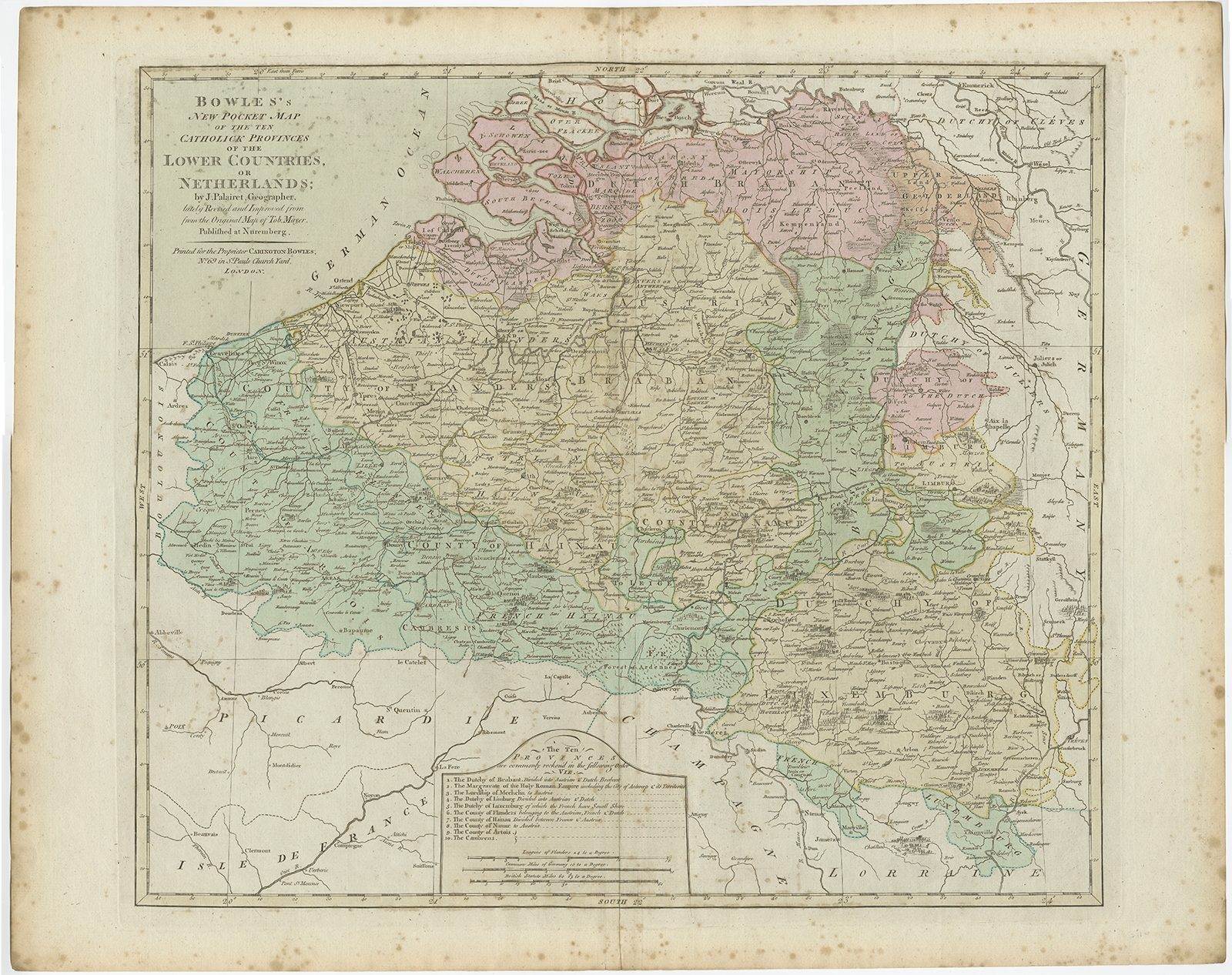 |
Antique Map of the Southern Netherlands by Bowles (c.1780) $ 346.59 instead of Availability: in stock Condition : Good. General age-related toning and foxing. Please study image carefully. Date : c.1780 Overall size : 68 x 54.5 cm. Image size : 54 x 48 cm. Description: Antique map titled ‘Bowles's New Pocket Map of the ten Catholick Provinces of the Lower Countries, or Netherlands’. Original antique map of the Southern Netherlands. The Southern Netherlands, also called the Catholic Netherlands, was the part of the Low Countries largely controlled by Spain (1556–1714), later Austria (1714–1794), and occupied then annexed by France (1794–1815). With English legend explaining the ten provinces. Artists and Engravers: Thomas Bowles, born around 1712, was map publisher and seller in London. The business was continued by John and Carrington Bowles and finally under the name Bowles and Carver until early 19th century. |
|