See our ratings  Add this shop to my favorites  |
||
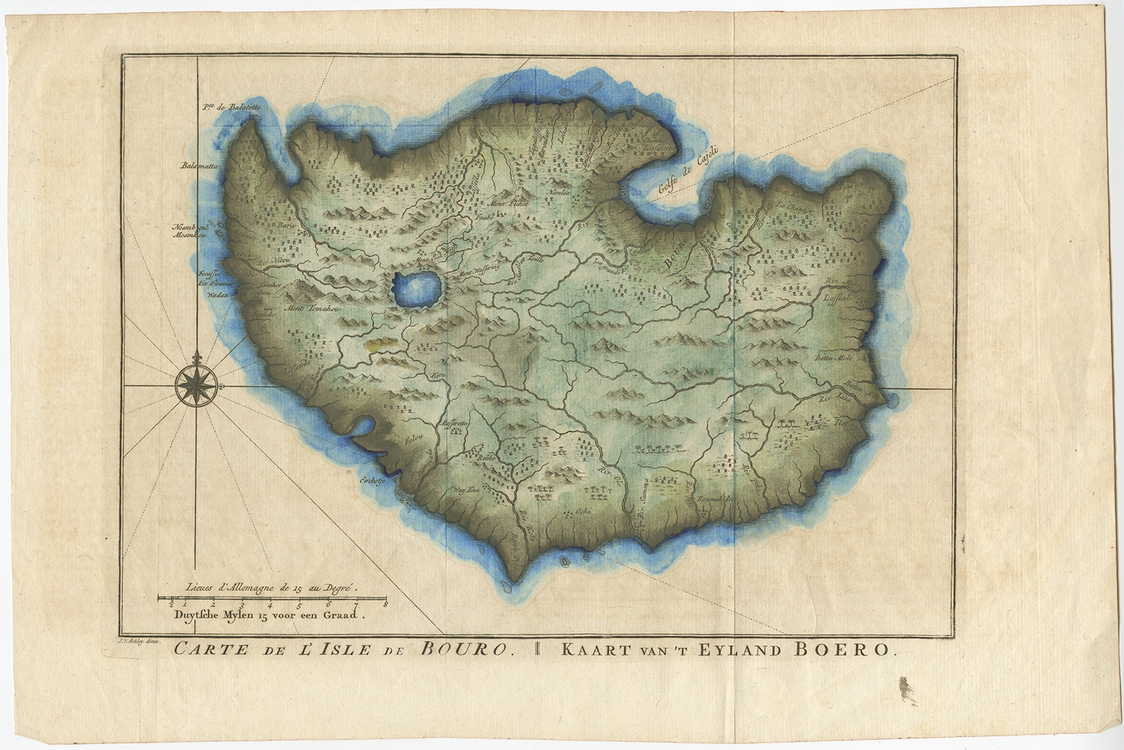 |
Antique Map of the Island of Buru by Van Schley (1755) $ 199.48 instead of Availability: in stock Condition : Very good, general age-related toning. Please study image carefully. Date : 1755 Overall size : 39 x 25.5 cm. Image size : 30 x 21.5 cm. Description: Antique map titled 'Carte de L'Isle de Bouro - Kaart van 't Eyland Boero'. This map depicts the island of Buru, Maluku, Indonesia. Originates from the Dutch edition of 'Histoire Generale des Voyages'. Published 1755. Artists and Engravers: Jakob van der Schley (1715-1779) was a Dutch draughtsman and engraver, who studied under Bernard Picart. |
|