 |
See our ratings  Add this shop to my favorites  |
|
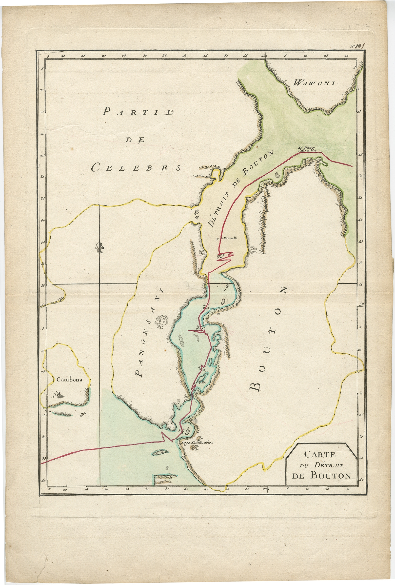 |
Antique Map of the Buton Strait by Philippe (1787) $ 140.64 Availability: in stock Condition : Good, general age-related toning. Some marginal tears. Please study image carefully. Date : 1787 Overall size : 29 x 44 cm. Image size : 25 x 33.5 cm. Description: Antique map titled 'Carte du Détroit de Bouton'. Map of the Buton Strait between Paula Buton and Celebes, Indonesia. This map originates from 'World atlas for the study of geography and ancient and modern history', Paris. Artists and Engravers: Etienne André Philippe de Pretot (1708-1787), a member of the Academies of Rouen and Angers. |
|