Authentic
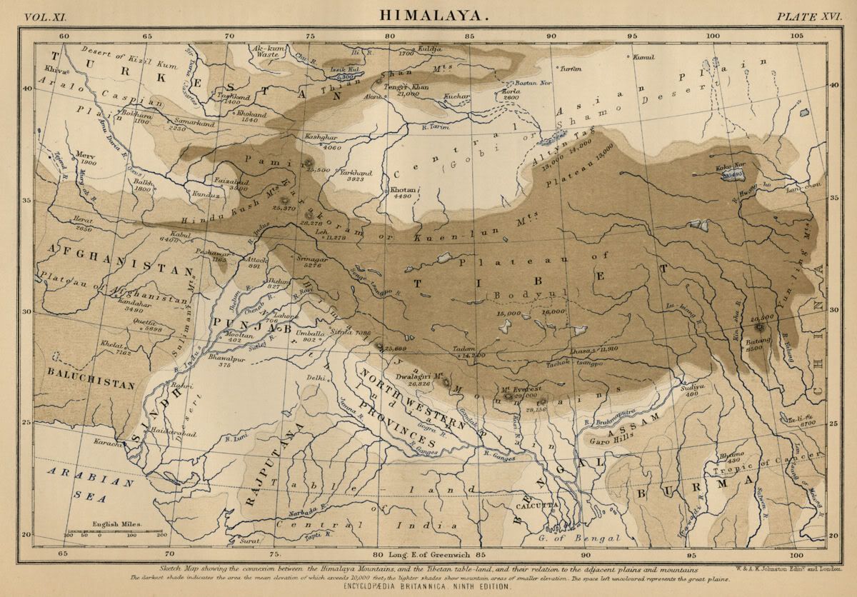
1889 Color Map of The Himalayas Includes Countries and Elevations
shows parts of Afghanistan, Baluchistan, Turkestan, Tibet, and provinces of
India: including Sindh, Punjab, Rajputana, Bengal, Assam, etc.
Satisfaction Guaranteed
This color map of
the Himalayaswas included in Encylopaedia (Encyclopedia) Britannica's Ninth
Edition.
This is a genuine 1889 map--NOT a reproduction.
The map is printed on medium weight paper--blank on the reverse.
Bordered map size is about 9.5" x 6.25".
Condition is very good--as shown.
The above illustration is a very accurate
representation of the map, and below is a close-up to show detail and
quality.
Bid with confidence--Returnable for any
reason within 10 days for prompt refund.
Powered by eBay Turbo Lister The free listing tool. List your items fast and easy and manage your active items.